Vasylkiv night lights from space
Night Light of Vasylkiv (Kyiv) from space (Ukraine) Src. Average luminocity for 10x10km area is 10.4545% and for 50x50km: 9.2276%.
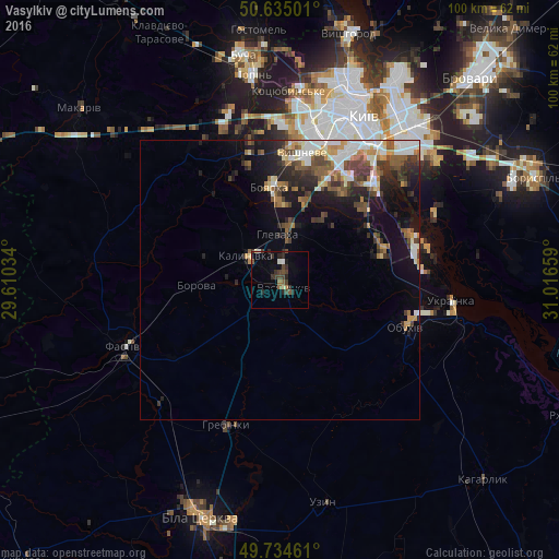
Analysis of Vasylkiv night lights 2016
Square area 10x10 km:
 0.4%
0.4%90-99
1.34%80-89
0.4%70-79
0%60-69
1.47%50-59
1.87%40-49
3.48%30-39
3.88%20-29
4.55%10-19
1.2%0-9
81.42%Square area 50x50 km:
1.4%90-99
1.62%80-89
0.77%70-79
0.94%60-69
1.1%50-59
1.51%40-49
1.79%30-39
1.85%20-29
2.43%10-19
4.87%0-9
81.75%Clear (daylight) street map image can be seen on geolist.org.
Map coordinates:
50° 38' 6" North, 29° 36' 37.2" East
50° 11' 12.9" North, 30° 18' 48.5" East
49° 44' 4.6" North, 31° 0' 59.7" East
Some cities around Vasylkiv sort by population:
• Fastiv
30.8 km =19.1 mi,  246°
246°
• Boyarka
14.7 km =9.1 mi,  355°
355°
• Vyshneve
22.8 km =14.2 mi,  10°
10°
• Obukhiv
23.5 km =14.6 mi,  112°
112°
• Hlevakha
9.8 km =6.1 mi, 5°
• Chabany
18.8 km =11.7 mi,  24°
24°
• Borova
14.9 km =9.3 mi,  265°
265°
• Sofiyivska Borschagivka
25.1 km =15.6 mi, 8°
690412 (p: 39,700)
Sources (retrieved 2019-11-25):
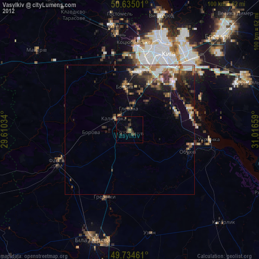
» Earth at Night: Flat Maps 2012, 2016