Obukhiv night lights from space
Night Light of Obukhiv (Kyiv) from space (Ukraine) Src. Average luminocity for 10x10km area is 7.9385% and for 50x50km: 4.0351%.
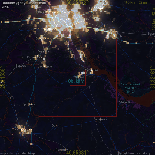
Analysis of Obukhiv night lights 2016
Square area 10x10 km:
 0.4%
0.4%90-99
2.27%80-89
0.4%70-79
2.27%60-69
1.07%50-59
0%40-49
0.53%30-39
0.8%20-29
1.47%10-19
0.4%0-9
90.37%Square area 50x50 km:
0.12%90-99
0.37%80-89
0.26%70-79
0.41%60-69
0.58%50-59
0.55%40-49
0.8%30-39
0.91%20-29
1.07%10-19
4.56%0-9
90.37%Clear (daylight) street map image can be seen on geolist.org.
Map coordinates:
50° 33' 20.6" North, 29° 54' 55.3" East
50° 6' 24.8" North, 30° 37' 6.5" East
49° 39' 13.7" North, 31° 19' 17.8" East
Some cities around Obukhiv sort by population:
• Vasylkiv
23.5 km =14.6 mi,  292°
292°
• Boyarka
32.9 km =20.4 mi,  315°
315°
• Ukrainka
10 km =6.2 mi,  66°
66°
• Kaharlyk
31.1 km =19.3 mi,  151°
151°
• Hlevakha
27.9 km =17.3 mi,  311°
311°
• Rzhyshchiv
34.2 km =21.3 mi,  116°
116°
• Chabany
29.5 km =18.3 mi,  331°
331°
• Hnidyn
25.5 km =15.8 mi,  14°
14°
698782 (p: 31,557)
Sources (retrieved 2019-11-25):
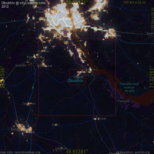
» Earth at Night: Flat Maps 2012, 2016