Fastiv night lights from space
Night Light of Fastiv (Kyiv) from space (Ukraine) Src. Average luminocity for 10x10km area is 2.4244% and for 50x50km: 0.3741%.
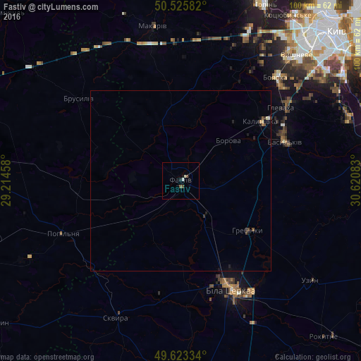
Analysis of Fastiv night lights 2016
Square area 10x10 km:
 0.28%
0.28%90-99
0.84%80-89
0%70-79
0%60-69
0%50-59
0.84%40-49
0.84%30-39
0%20-29
0.56%10-19
1.12%0-9
95.52%Square area 50x50 km:
0.02%90-99
0.05%80-89
0.03%70-79
0.04%60-69
0%50-59
0.09%40-49
0.08%30-39
0.06%20-29
0.13%10-19
0.17%0-9
99.32%Clear (daylight) street map image can be seen on geolist.org.
Map coordinates:
50° 31' 33" North, 29° 12' 52.5" East
50° 4' 36.1" North, 29° 55' 3.7" East
49° 37' 24" North, 30° 37' 15" East
Some cities around Fastiv sort by population:
• Bila Tserkva
32.8 km =20.4 mi,  154°
154°
• Vasylkiv
30.8 km =19.1 mi,  66°
66°
• Boyarka
38.2 km =23.7 mi,  45°
45°
• Skvyra
42.4 km =26.3 mi,  205°
205°
• Hlevakha
36.5 km =22.7 mi, 53°
• Borova
17.3 km =10.7 mi, 50°
• Popilnia
36 km =22.4 mi,  247°
247°
• Brusyliv
36.2 km =22.5 mi,  309°
309°
709248 (p: 51,143)
Sources (retrieved 2019-11-25):
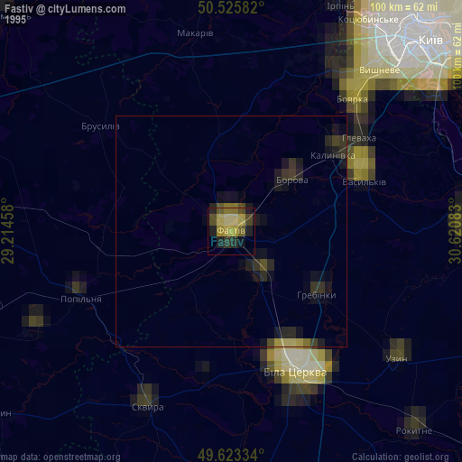
» NASA, Earths city lights 1995
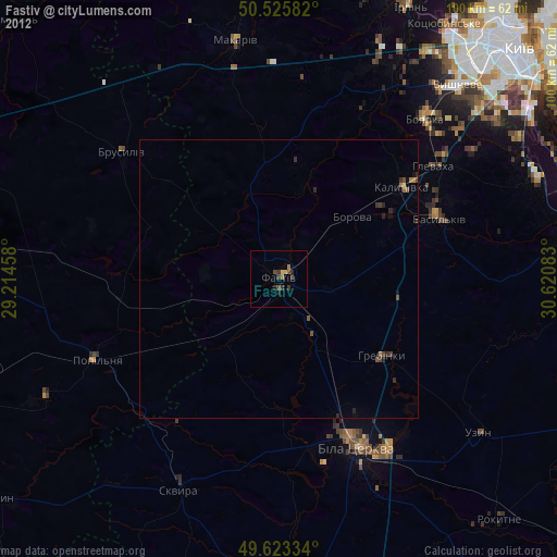
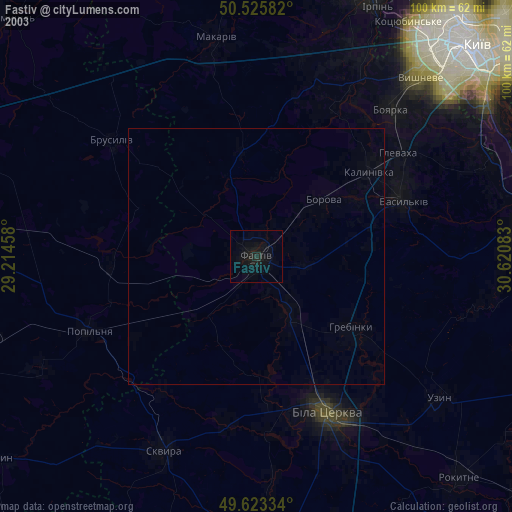
» NASA city lights 2003
» Earth at Night: Flat Maps 2012, 2016