Varash night lights from space
Night Light of Varash (Rivne) from space (Ukraine) Src. Average luminocity for 10x10km area is 12.007% and for 50x50km: 0.5534%.
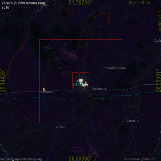
Analysis of Varash night lights 2016
Square area 10x10 km:
 2.38%
2.38%90-99
2.1%80-89
2.24%70-79
1.68%60-69
0.56%50-59
0.56%40-49
1.26%30-39
0.98%20-29
0%10-19
2.1%0-9
86.13%Square area 50x50 km:
0.09%90-99
0.08%80-89
0.08%70-79
0.06%60-69
0.05%50-59
0.06%40-49
0.07%30-39
0.06%20-29
0.02%10-19
0.1%0-9
99.33%Clear (daylight) street map image can be seen on geolist.org.
Map coordinates:
51° 47' 16.5" North, 25° 8' 39.3" East
51° 21' 3.2" North, 25° 50' 50.6" East
50° 54' 34.8" North, 26° 33' 1.8" East
Some cities around Varash sort by population:
• Kostopil’
67.4 km =41.9 mi,  141°
141°
• Sarny
52.4 km =32.6 mi,  91°
91°
• Kivertsi
63.6 km =39.5 mi,  205°
205°
• Rozhyshche
63 km =39.1 mi,  219°
219°
• Kamin-Kashyrskyi
68.6 km =42.6 mi,  296°
296°
• Dubrovytsya
55.6 km =34.5 mi,  63°
63°
• Volodymyrets’
22.1 km =13.7 mi,  69°
69°
• Zarichne
54.9 km =34.1 mi,  20°
20°
8341919 (p: 42,000)
Sources (retrieved 2019-11-25):
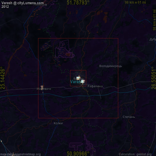
» Earth at Night: Flat Maps 2012, 2016