Sarny night lights from space
Night Light of Sarny (Rivne) from space (Ukraine) Src. Average luminocity for 10x10km area is 2.112% and for 50x50km: 0.125%.

Analysis of Sarny night lights 2016
Square area 10x10 km:
 0%
0%90-99
0%80-89
0.56%70-79
0%60-69
1.12%50-59
0.56%40-49
0%30-39
1.12%20-29
0%10-19
0.56%0-9
96.08%Square area 50x50 km:
0%90-99
0%80-89
0.04%70-79
0%60-69
0.05%50-59
0.04%40-49
0.02%30-39
0.04%20-29
0%10-19
0.04%0-9
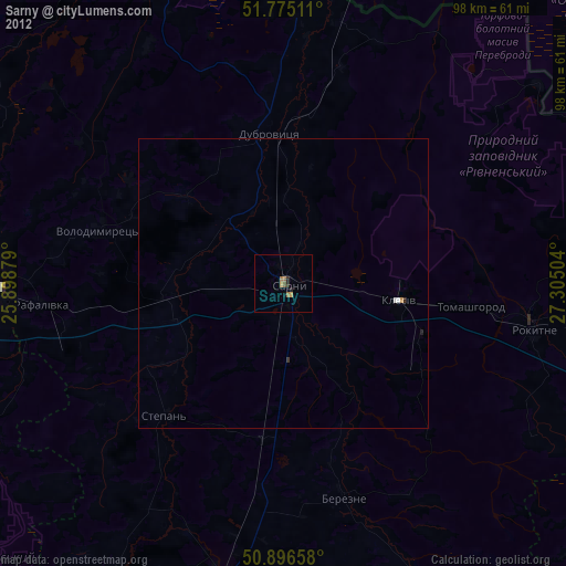
99.77%Clear (daylight) street map image can be seen on geolist.org.
Map coordinates:
51° 46' 30.4" North, 25° 53' 55.6" East
51° 20' 16.6" North, 26° 36' 6.9" East
50° 53' 47.7" North, 27° 18' 18.1" East
Some cities around Sarny sort by population:
• Varash
52.4 km =32.6 mi,  271°
271°
• Kostopil’
52.2 km =32.4 mi,  191°
191°
• Rokytne
43 km =26.7 mi,  98°
98°
• Stolin, BY
63.8 km =39.6 mi,  15°
15°
• Dubrovytsya
26.4 km =16.4 mi,  354°
354°
• Volodymyrets’
33.1 km =20.6 mi,  286°
286°
• Zarichne
62.1 km =38.6 mi,  328°
328°
• Horodnytsya
77.3 km =48 mi,  139°
139°
694792 (p: 27,097)
Sources (retrieved 2019-11-25):
» Earth at Night: Flat Maps 2012, 2016