Dubrovytsya night lights from space
Night Light of Dubrovytsya (Rivne) from space (Ukraine) Src. Average luminocity for 10x10km area is 0% and for 50x50km: 0.0026%.
Analysis of Dubrovytsya night lights 2016
Square area 10x10 km:
 0%
0%90-99
0%80-89
0%70-79
0%60-69
0%50-59
0%40-49
0%30-39
0%20-29
0%10-19
0%0-9
100%Square area 50x50 km:
0%90-99
0%80-89
0%70-79
0%60-69
0%50-59
0%40-49
0%30-39
0%20-29
0%10-19
0%0-9
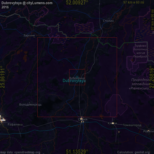
100%Clear (daylight) street map image can be seen on geolist.org.
Map coordinates:
52° 0' 33.4" North, 25° 51' 42.9" East
51° 34' 27.8" North, 26° 33' 54.1" East
51° 8' 7" North, 27° 16' 5.4" East
Some cities around Dubrovytsya sort by population:
• Pinsk, BY
69 km =42.9 mi,  332°
332°
• Varash
55.6 km =34.5 mi,  243°
243°
• Sarny
26.4 km =16.4 mi,  174°
174°
• Rokytne
55.7 km =34.6 mi,  126°
126°
• Stolin, BY
40.2 km =25 mi,  28°
28°
• Volodymyrets’
33.7 km =20.9 mi, 239°
• Davyd-Haradok, BY
69.8 km =43.4 mi,  39°
39°
• Zarichne
40.1 km =24.9 mi,  311°
311°
709493 (p: 9,285)
Sources (retrieved 2019-11-25):
» Earth at Night: Flat Maps 2012, 2016