Kamin-Kashyrskyi night lights from space
Night Light of Kamin-Kashyrskyi (Volyn) from space (Ukraine) Src. Average luminocity for 10x10km area is 0.1297% and for 50x50km: 0.0052%.
Analysis of Kamin-Kashyrskyi night lights 2016
Square area 10x10 km:
 0%
0%90-99
0%80-89
0%70-79
0%60-69
0%50-59
0%40-49
0%30-39
0%20-29
0.53%10-19
0%0-9
99.47%Square area 50x50 km:
0%90-99
0%80-89
0%70-79
0%60-69
0%50-59
0%40-49
0%30-39
0%20-29
0.02%10-19
0%0-9
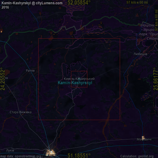
99.98%Clear (daylight) street map image can be seen on geolist.org.
Map coordinates:
52° 3' 30.7" North, 24° 15' 19.9" East
51° 37' 26.8" North, 24° 57' 31.1" East
51° 11' 7.8" North, 25° 39' 42.4" East
Some cities around Kamin-Kashyrskyi sort by population:
• Kovel
48.7 km =30.3 mi,  200°
200°
• Varash
68.6 km =42.6 mi,  116°
116°
• Ivanava, BY
70.2 km =43.6 mi,  34°
34°
• Drahichyn, BY
64.1 km =39.8 mi,  12°
12°
• Malaryta, BY
63.7 km =39.6 mi,  286°
286°
• Ratne
30 km =18.6 mi,  279°
279°
• Shats’k
71.8 km =44.6 mi,  259°
259°
• Stara Vyzhivka
41.4 km =25.7 mi,  239°
239°
707025 (p: 11,042)
Sources (retrieved 2019-11-25):
» Earth at Night: Flat Maps 2012, 2016