Rozhyshche night lights from space
Night Light of Rozhyshche (Volyn) from space (Ukraine) Src. Average luminocity for 10x10km area is 0.6583% and for 50x50km: 1.7383%.
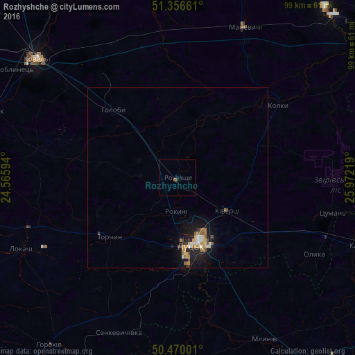
Analysis of Rozhyshche night lights 2016
Square area 10x10 km:
 0%
0%90-99
0%80-89
0%70-79
0%60-69
0%50-59
0.56%40-49
0.56%30-39
0%20-29
0%10-19
0.28%0-9
98.6%Square area 50x50 km:
0.17%90-99
0.21%80-89
0.25%70-79
0.31%60-69
0.22%50-59
0.26%40-49
0.18%30-39
0.16%20-29
0.37%10-19
1.77%0-9
96.11%Clear (daylight) street map image can be seen on geolist.org.
Map coordinates:
51° 21' 23.8" North, 24° 33' 57.4" East
50° 54' 55.5" North, 25° 16' 8.6" East
50° 28' 12" North, 25° 58' 19.9" East
Some cities around Rozhyshche sort by population:
• Rivne
74.8 km =46.5 mi,  115°
115°
• Lutsk
18.1 km =11.2 mi,  163°
163°
• Kovel
51.4 km =31.9 mi,  310°
310°
• Varash
63 km =39.1 mi,  39°
39°
• Volodymyr-Volynskyi
66.7 km =41.4 mi,  263°
263°
• Dubno
64.4 km =40 mi,  149°
149°
• Kivertsi
16 km =9.9 mi, 124°
• Mlyniv
51.4 km =31.9 mi, 151°
695326 (p: 13,280)
Sources (retrieved 2019-11-25):
» Earth at Night: Flat Maps 2012, 2016