Volodymyrets’ night lights from space
Night Light of Volodymyrets’ (Rivne) from space (Ukraine) Src. Average luminocity for 10x10km area is 0.0749% and for 50x50km: 0.49%.
Analysis of Volodymyrets’ night lights 2016
Square area 10x10 km:
 0%
0%90-99
0%80-89
0%70-79
0%60-69
0%50-59
0%40-49
0%30-39
0%20-29
0%10-19
0.53%0-9
99.47%Square area 50x50 km:
0.09%90-99
0.08%80-89
0.09%70-79
0.06%60-69
0.02%50-59
0.02%40-49
0.05%30-39
0.04%20-29
0%10-19
0.1%0-9
99.45%Clear (daylight) street map image can be seen on geolist.org.
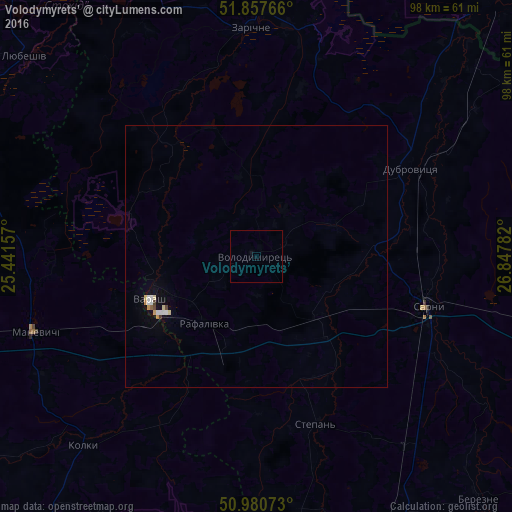
Map coordinates:
51° 51' 27.6" North, 25° 26' 29.7" East
51° 25' 16.7" North, 26° 8' 40.9" East
50° 58' 50.6" North, 26° 50' 52.2" East
Some cities around Volodymyrets’ sort by population:
• Pinsk, BY
78.1 km =48.5 mi,  357°
357°
• Varash
22.1 km =13.7 mi,  249°
249°
• Kostopil’
64.1 km =39.8 mi,  160°
160°
• Sarny
33.1 km =20.6 mi,  106°
106°
• Rokytne
75.9 km =47.2 mi,  101°
101°
• Stolin, BY
71.2 km =44.2 mi,  42°
42°
• Dubrovytsya
33.7 km =20.9 mi,  59°
59°
• Zarichne
43.5 km =27 mi, 358°
689428 (p: 8,537)
Sources (retrieved 2019-11-25):
» Earth at Night: Flat Maps 2012, 2016