Krasnopillya night lights from space
Night Light of Krasnopillya (Sumy) from space (Ukraine) Src. Average luminocity for 10x10km area is 0% and for 50x50km: 0.0083%.
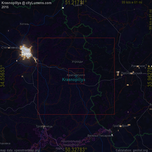
Analysis of Krasnopillya night lights 2016
Square area 10x10 km:
 0%
0%90-99
0%80-89
0%70-79
0%60-69
0%50-59
0%40-49
0%30-39
0%20-29
0%10-19
0%0-9
100%Square area 50x50 km:
0%90-99
0%80-89
0%70-79
0%60-69
0%50-59
0%40-49
0%30-39
0%20-29
0%10-19
0.02%0-9
99.98%Clear (daylight) street map image can be seen on geolist.org.
Map coordinates:
51° 13' 1.6" North, 34° 33' 23.5" East
50° 46' 28.5" North, 35° 15' 34.7" East
50° 19' 40.2" North, 35° 57' 46" East
Some cities around Krasnopillya sort by population:
• Sumy
36.2 km =22.5 mi,  296°
296°
• Rakitnoye, RU
42.2 km =26.2 mi,  80°
80°
• Proletarskiy, RU
36.1 km =22.4 mi,  87°
87°
• Trostyanets’
38.3 km =23.8 mi,  212°
212°
• Sudzha, RU
47 km =29.2 mi,  1°
1°
• Grayvoron, RU
44.3 km =27.5 mi,  138°
138°
• Golovchino, RU
46.4 km =28.8 mi,  125°
125°
• Velyka Pysarivka
41.9 km =26 mi,  158°
158°
704343 (p: 8,603)
Sources (retrieved 2019-11-25):
» Earth at Night: Flat Maps 2012, 2016