Trostyanets’ night lights from space
Night Light of Trostyanets’ (Sumy) from space (Ukraine) Src. Average luminocity for 10x10km area is 0.7171% and for 50x50km: 0.2172%.
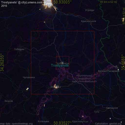
Analysis of Trostyanets’ night lights 2016
Square area 10x10 km:
 0%
0%90-99
0%80-89
0%70-79
0%60-69
0%50-59
0%40-49
0%30-39
0.56%20-29
1.26%10-19
0.98%0-9
97.2%Square area 50x50 km:
0.01%90-99
0.02%80-89
0%70-79
0%60-69
0.02%50-59
0.09%40-49
0.04%30-39
0.09%20-29
0.19%10-19
0.09%0-9
99.46%Clear (daylight) street map image can be seen on geolist.org.
Map coordinates:
50° 55' 48.2" North, 34° 15' 45.2" East
50° 29' 5.2" North, 34° 57' 56.4" East
50° 2' 7" North, 35° 40' 7.7" East
Some cities around Trostyanets’ sort by population:
• Sumy
49.9 km =31 mi,  346°
346°
• Okhtyrka
20 km =12.4 mi,  193°
193°
• Lebedyn
35.8 km =22.2 mi,  288°
288°
• Kotel’va
48.6 km =30.2 mi,  197°
197°
• Krasnopillya
38.3 km =23.8 mi,  32°
32°
• Krasnokuts’k
48.6 km =30.2 mi,  163°
163°
• Grayvoron, RU
50.4 km =31.3 mi,  91°
91°
• Velyka Pysarivka
37 km =23 mi,  100°
100°
691255 (p: 8,151)
Sources (retrieved 2019-11-25):
» Earth at Night: Flat Maps 2012, 2016