Sloviansk night lights from space
Night Light of Sloviansk (Donetsk) from space (Ukraine) Src. Average luminocity for 10x10km area is 14.2401% and for 50x50km: 1.9233%.
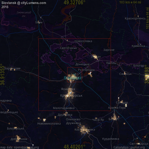
Analysis of Sloviansk night lights 2016
Square area 10x10 km:
 0%
0%90-99
0.28%80-89
1.7%70-79
0.57%60-69
2.41%50-59
5.11%40-49
5.4%30-39
4.26%20-29
6.68%10-19
3.98%0-9
69.6%Square area 50x50 km:
0.07%90-99
0.07%80-89
0.23%70-79
0.15%60-69
0.27%50-59
0.41%40-49
0.74%30-39
0.47%20-29
0.47%10-19
1.24%0-9
95.88%Clear (daylight) street map image can be seen on geolist.org.
Map coordinates:
49° 19' 37.4" North, 36° 54' 48.8" East
48° 52' 0" North, 37° 37' 0" East
48° 24' 7.2" North, 38° 19' 11.3" East
Some cities around Sloviansk sort by population:
• Kramators’k
16.6 km =10.3 mi,  195°
195°
• Kostyantynivka
38.3 km =23.8 mi,  170°
170°
• Bakhmut
41.2 km =25.6 mi,  137°
137°
• Druzhkivka
26.7 km =16.6 mi,  190°
190°
• Lyman
19.2 km =11.9 mi,  45°
45°
• Chasiv Yar
35.1 km =21.8 mi,  149°
149°
• Sivers’k
35.4 km =22 mi,  89°
89°
• Soledar
40.4 km =25.1 mi,  121°
121°
693468 (p: 124,800)
Sources (retrieved 2019-11-25):
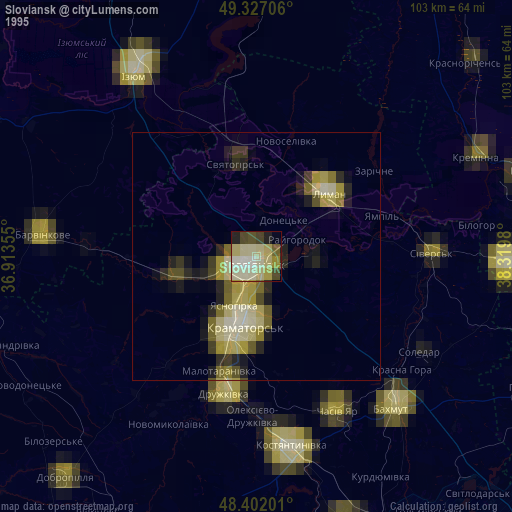
» NASA, Earths city lights 1995
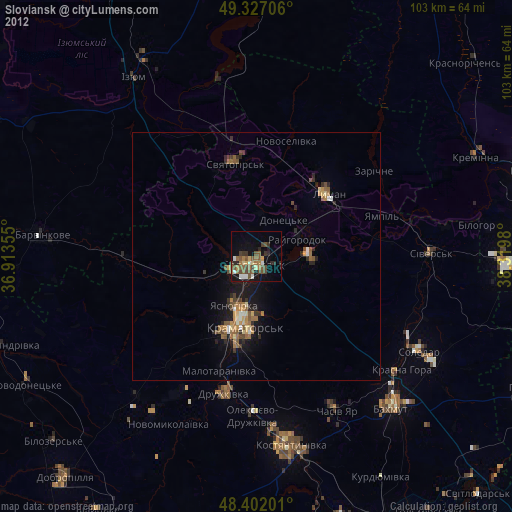
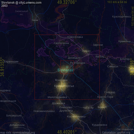
» NASA city lights 2003
» Earth at Night: Flat Maps 2012, 2016