Kostyantynivka night lights from space
Night Light of Kostyantynivka (Donetsk) from space (Ukraine) Src. Average luminocity for 10x10km area is 14.8409% and for 50x50km: 1.8822%.
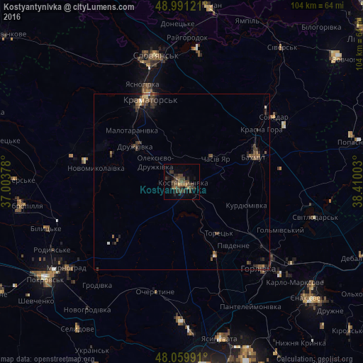
Analysis of Kostyantynivka night lights 2016
Square area 10x10 km:
 0%
0%90-99
0%80-89
0.99%70-79
0.71%60-69
1.14%50-59
3.69%40-49
9.94%30-39
7.53%20-29
3.41%10-19
2.84%0-9
69.74%Square area 50x50 km:
0.03%90-99
0.08%80-89
0.12%70-79
0.1%60-69
0.21%50-59
0.47%40-49
0.85%30-39
0.86%20-29
0.54%10-19
0.65%0-9
96.08%Clear (daylight) street map image can be seen on geolist.org.
Map coordinates:
48° 59' 28.4" North, 37° 0' 13.6" East
48° 31' 39.7" North, 37° 42' 24.8" East
48° 3' 35.7" North, 38° 24' 36.1" East
Some cities around Kostyantynivka sort by population:
• Horlivka
33.3 km =20.7 mi,  129°
129°
• Kramators’k
24.4 km =15.2 mi,  332°
332°
• Sloviansk
38.3 km =23.8 mi,  350°
350°
• Bakhmut
22.8 km =14.2 mi,  70°
70°
• Druzhkivka
16.1 km =10 mi,  315°
315°
• Toretsk
17.7 km =11 mi,  144°
144°
• Chasiv Yar
13.3 km =8.3 mi,  56°
56°
• Soledar
32.8 km =20.4 mi, 59°
705104 (p: 91,259)
Sources (retrieved 2019-11-25):
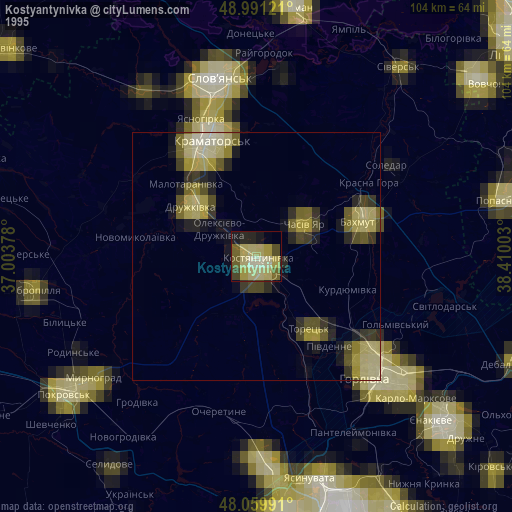
» NASA, Earths city lights 1995
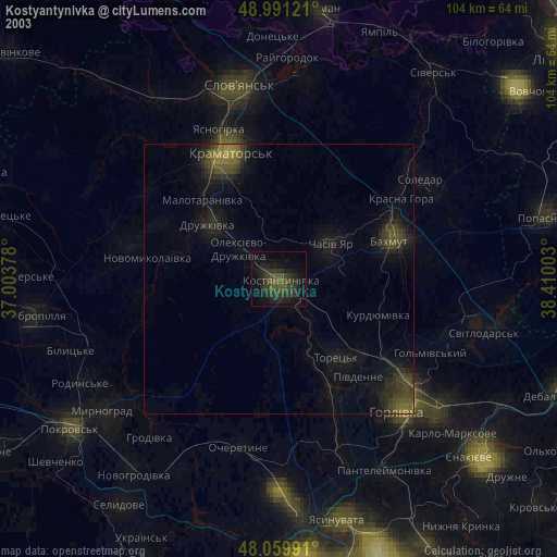
» NASA city lights 2003
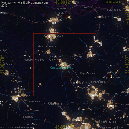
» Earth at Night: Flat Maps 2012, 2016