Chasiv Yar night lights from space
Night Light of Chasiv Yar (Donetsk) from space (Ukraine) Src. Average luminocity for 10x10km area is 0.558% and for 50x50km: 2.1355%.
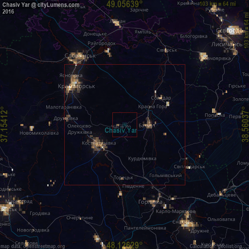
Analysis of Chasiv Yar night lights 2016
Square area 10x10 km:
 0%
0%90-99
0%80-89
0%70-79
0%60-69
0%50-59
0.15%40-49
1.04%30-39
0%20-29
0%10-19
0%0-9
98.81%Square area 50x50 km:
0.05%90-99
0.1%80-89
0.17%70-79
0.14%60-69
0.24%50-59
0.44%40-49
0.96%30-39
0.83%20-29
0.42%10-19
1.3%0-9
95.34%Clear (daylight) street map image can be seen on geolist.org.
Map coordinates:
49° 3' 23" North, 37° 9' 14.8" East
48° 35' 36.5" North, 37° 51' 26.1" East
48° 7' 34.6" North, 38° 33' 37.3" East
Some cities around Chasiv Yar sort by population:
• Horlivka
32.1 km =19.9 mi,  153°
153°
• Kramators’k
26.4 km =16.4 mi,  303°
303°
• Kostyantynivka
13.3 km =8.3 mi,  236°
236°
• Bakhmut
10.5 km =6.5 mi,  88°
88°
• Druzhkivka
22.8 km =14.2 mi,  280°
280°
• Toretsk
21.7 km =13.5 mi,  181°
181°
• Soledar
19.5 km =12.1 mi,  60°
60°
• Svetlodarsk
32.3 km =20.1 mi,  123°
123°
710915 (p: 14,360)
Sources (retrieved 2019-11-25):
» Earth at Night: Flat Maps 2012, 2016