Lyman night lights from space
Night Light of Lyman (Donetsk) from space (Ukraine) Src. Average luminocity for 10x10km area is 5.4077% and for 50x50km: 1.2823%.
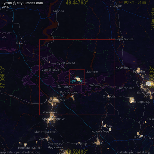
Analysis of Lyman night lights 2016
Square area 10x10 km:
 0%
0%90-99
0%80-89
1.93%70-79
1.19%60-69
1.04%50-59
0.6%40-49
0.89%30-39
0.74%20-29
1.19%10-19
0.74%0-9
91.67%Square area 50x50 km:
0.03%90-99
0.03%80-89
0.14%70-79
0.09%60-69
0.17%50-59
0.32%40-49
0.47%30-39
0.28%20-29
0.38%10-19
0.85%0-9
97.23%Clear (daylight) street map image can be seen on geolist.org.
Map coordinates:
49° 26' 51.5" North, 37° 5' 56.9" East
48° 59' 18.1" North, 37° 48' 8.1" East
48° 31' 29.4" North, 38° 30' 19.4" East
Some cities around Lyman sort by population:
• Kramators’k
34.6 km =21.5 mi,  211°
211°
• Sloviansk
19.2 km =11.9 mi,  225°
225°
• Rubizhne
42.2 km =26.2 mi,  86°
86°
• Druzhkivka
43.8 km =27.2 mi,  204°
204°
• Kreminna
31.1 km =19.3 mi,  77°
77°
• Sivers’k
25.6 km =15.9 mi,  121°
121°
• Soledar
40.3 km =25 mi,  148°
148°
• Pryvillya
36.8 km =22.9 mi, 85°
704204 (p: 28,200)
Sources (retrieved 2019-11-25):
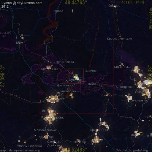
» Earth at Night: Flat Maps 2012, 2016