Soledar night lights from space
Night Light of Soledar (Donetsk) from space (Ukraine) Src. Average luminocity for 10x10km area is 5.3884% and for 50x50km: 1.3618%.
Analysis of Soledar night lights 2016
Square area 10x10 km:
 0.3%
0.3%90-99
1.49%80-89
1.04%70-79
0.74%60-69
0.45%50-59
0.74%40-49
0%30-39
0.6%20-29
1.19%10-19
1.79%0-9
91.67%Square area 50x50 km:
0.08%90-99
0.13%80-89
0.21%70-79
0.2%60-69
0.2%50-59
0.23%40-49
0.29%30-39
0.25%20-29
0.21%10-19
0.23%0-9
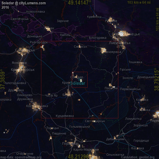
97.99%Clear (daylight) street map image can be seen on geolist.org.
Map coordinates:
49° 8' 29.3" North, 37° 23' 9.2" East
48° 40' 45.7" North, 38° 5' 20.5" East
48° 12' 46.7" North, 38° 47' 31.7" East
Some cities around Soledar sort by population:
• Kostyantynivka
32.8 km =20.4 mi,  239°
239°
• Bakhmut
11.4 km =7.1 mi,  215°
215°
• Pervomays’k
34.2 km =21.3 mi,  99°
99°
• Popasna
21.8 km =13.5 mi, 103°
• Chasiv Yar
19.5 km =12.1 mi, 240°
• Sivers’k
20.9 km =13 mi,  2°
2°
• Svetlodarsk
29 km =18 mi,  160°
160°
• Hirs’ke
30.4 km =18.9 mi,  78°
78°
706757 (p: 12,662)
Sources (retrieved 2019-11-25):
» Earth at Night: Flat Maps 2012, 2016