Druzhkivka night lights from space
Night Light of Druzhkivka (Donetsk) from space (Ukraine) Src. Average luminocity for 10x10km area is 1.9449% and for 50x50km: 2.2632%.
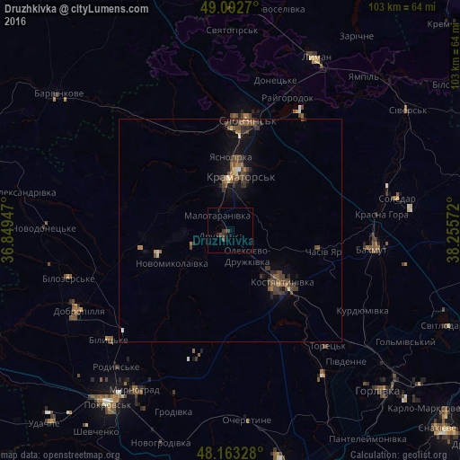
Analysis of Druzhkivka night lights 2016
Square area 10x10 km:
 0%
0%90-99
0%80-89
0%70-79
0%60-69
0%50-59
0%40-49
1.64%30-39
1.93%20-29
0.74%10-19
1.04%0-9
94.64%Square area 50x50 km:
0.05%90-99
0.09%80-89
0.2%70-79
0.14%60-69
0.28%50-59
0.48%40-49
1.08%30-39
0.8%20-29
0.52%10-19
1.35%0-9
95.01%Clear (daylight) street map image can be seen on geolist.org.
Map coordinates:
49° 5' 33.7" North, 36° 50' 58.1" East
48° 37' 48.5" North, 37° 33' 9.3" East
48° 9' 47.8" North, 38° 15' 20.6" East
Some cities around Druzhkivka sort by population:
• Kramators’k
10.3 km =6.4 mi,  1°
1°
• Sloviansk
26.7 km =16.6 mi,  10°
10°
• Kostyantynivka
16.1 km =10 mi,  135°
135°
• Bakhmut
33.1 km =20.6 mi,  96°
96°
• Toretsk
33.7 km =20.9 mi, 139°
• Dobropillya
39.2 km =24.4 mi,  241°
241°
• Chasiv Yar
22.8 km =14.2 mi, 100°
• Bilyts’ke
37 km =23 mi,  227°
227°
616743 (p: 62,315)
Sources (retrieved 2019-11-25):
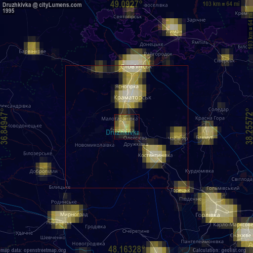
» NASA, Earths city lights 1995
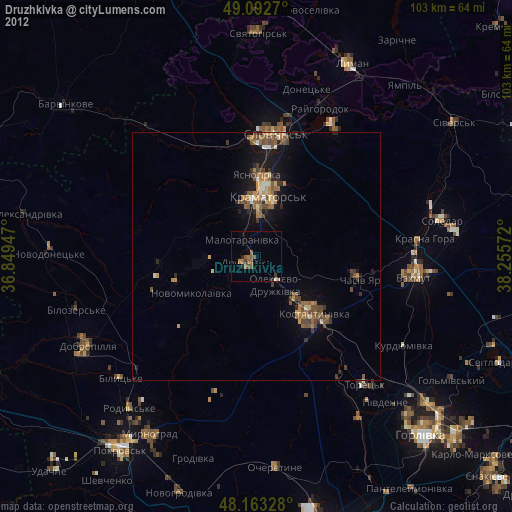
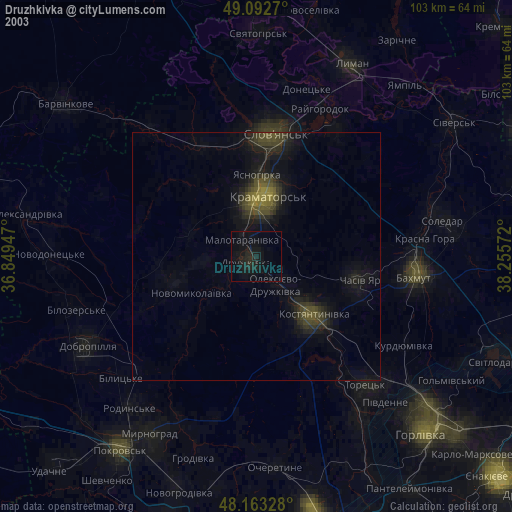
» NASA city lights 2003
» Earth at Night: Flat Maps 2012, 2016