Slavutych night lights from space
Night Light of Slavutych (Kyiv) from space (Ukraine) Src. Average luminocity for 10x10km area is 1.758% and for 50x50km: 0.0701%.
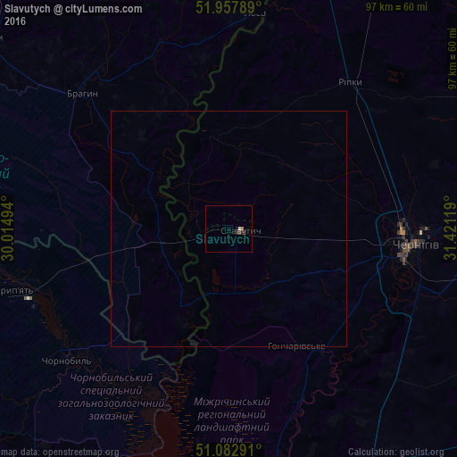
Analysis of Slavutych night lights 2016
Square area 10x10 km:
 0.4%
0.4%90-99
0.13%80-89
0%70-79
0%60-69
0.53%50-59
0%40-49
0.53%30-39
0.27%20-29
1.34%10-19
0.53%0-9
96.26%Square area 50x50 km:
0.02%90-99
0.01%80-89
0%70-79
0%60-69
0.02%50-59
0%40-49
0.02%30-39
0.01%20-29
0.05%10-19
0.02%0-9
99.85%Clear (daylight) street map image can be seen on geolist.org.
Map coordinates:
51° 57' 28.4" North, 30° 0' 53.8" East
51° 31' 21" North, 30° 43' 5" East
51° 4' 58.5" North, 31° 25' 16.3" East
Some cities around Slavutych sort by population:
• Chernihiv
39.3 km =24.4 mi,  92°
92°
• Horodnya
73.1 km =45.4 mi,  55°
55°
• Khoyniki, BY
66.7 km =41.4 mi,  307°
307°
• Ripky
39.9 km =24.8 mi,  39°
39°
• Loyew, BY
47.4 km =29.5 mi,  6°
6°
• Desna
66.2 km =41.1 mi,  177°
177°
• Oster
64.6 km =40.1 mi,  169°
169°
• Kulykivka
66.4 km =41.3 mi,  104°
104°
6930327 (p: 25,000)
Sources (retrieved 2019-11-25):
» Earth at Night: Flat Maps 2012, 2016