Horodnya night lights from space
Night Light of Horodnya (Chernihiv) from space (Ukraine) Src. Average luminocity for 10x10km area is 0% and for 50x50km: 0.0111%.
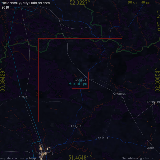
Analysis of Horodnya night lights 2016
Square area 10x10 km:
 0%
0%90-99
0%80-89
0%70-79
0%60-69
0%50-59
0%40-49
0%30-39
0%20-29
0%10-19
0%0-9
100%Square area 50x50 km:
0.01%90-99
0%80-89
0%70-79
0%60-69
0%50-59
0%40-49
0%30-39
0%20-29
0%10-19
0%0-9
99.99%Clear (daylight) street map image can be seen on geolist.org.
Map coordinates:
52° 19' 21.7" North, 30° 53' 39.4" East
51° 53' 27.1" North, 31° 35' 50.7" East
51° 27' 17.3" North, 32° 18' 1.9" East
Some cities around Horodnya sort by population:
• Chernihiv
48 km =29.8 mi,  206°
206°
• Koryukivka
46.7 km =29 mi,  106°
106°
• Mena
59.2 km =36.8 mi,  133°
133°
• Shchors
25.2 km =15.7 mi, 108°
• Ripky
36.7 km =22.8 mi,  254°
254°
• Loyew, BY
55.3 km =34.4 mi,  276°
276°
• Kulykivka
57.6 km =35.8 mi,  176°
176°
• Berezna
37.8 km =23.5 mi,  160°
160°
708320 (p: 13,601)
Sources (retrieved 2019-11-25):
» Earth at Night: Flat Maps 2012, 2016