Oster night lights from space
Night Light of Oster (Chernihiv) from space (Ukraine) Src. Average luminocity for 10x10km area is 0% and for 50x50km: 0.0051%.
Analysis of Oster night lights 2016
Square area 10x10 km:
 0%
0%90-99
0%80-89
0%70-79
0%60-69
0%50-59
0%40-49
0%30-39
0%20-29
0%10-19
0%0-9
100%Square area 50x50 km:
0%90-99
0%80-89
0%70-79
0%60-69
0%50-59
0%40-49
0%30-39
0%20-29
0.02%10-19
0%0-9
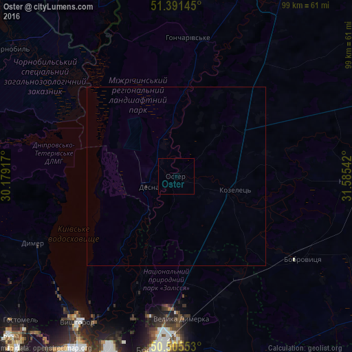
99.98%Clear (daylight) street map image can be seen on geolist.org.
Map coordinates:
51° 23' 29.2" North, 30° 10' 45" East
50° 57' 2.2" North, 30° 52' 56.2" East
50° 30' 19.9" North, 31° 35' 7.5" East
Some cities around Oster sort by population:
• Brovary
48.4 km =30.1 mi,  186°
186°
• Nosivka
49.1 km =30.5 mi,  92°
92°
• Bobrovytsya
42.5 km =26.4 mi,  122°
122°
• Velyka Dymerka
39.8 km =24.7 mi,  177°
177°
• Kozelets’
17.3 km =10.7 mi,  103°
103°
• Novi Petrivtsi
47.4 km =29.5 mi,  220°
220°
• Desna
8.9 km =5.5 mi,  253°
253°
• Dymer
44.6 km =27.7 mi, 245°
698247 (p: 6,794)
Sources (retrieved 2019-11-25):
» Earth at Night: Flat Maps 2012, 2016