Kulykivka night lights from space
Night Light of Kulykivka (Chernihiv) from space (Ukraine) Src. Average luminocity for 10x10km area is 0% and for 50x50km: 0.1396%.
Analysis of Kulykivka night lights 2016
Square area 10x10 km:
 0%
0%90-99
0%80-89
0%70-79
0%60-69
0%50-59
0%40-49
0%30-39
0%20-29
0%10-19
0%0-9
100%Square area 50x50 km:
0%90-99
0.01%80-89
0.02%70-79
0%60-69
0.01%50-59
0.01%40-49
0.02%30-39
0.08%20-29
0.1%10-19
0.12%0-9
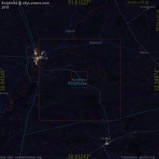
99.64%Clear (daylight) street map image can be seen on geolist.org.
Map coordinates:
51° 48' 37" North, 30° 56' 36.6" East
51° 22' 24.4" North, 31° 38' 47.8" East
50° 55' 56.7" North, 32° 20' 59.1" East
Some cities around Kulykivka sort by population:
• Chernihiv
29.1 km =18.1 mi,  300°
300°
• Nizhyn
39.9 km =24.8 mi,  155°
155°
• Nosivka
49.3 km =30.6 mi,  185°
185°
• Mena
42.7 km =26.5 mi,  67°
67°
• Shchors
53.6 km =33.3 mi,  22°
22°
• Borzna
55.8 km =34.7 mi,  103°
103°
• Berezna
24 km =14.9 mi, 23°
• Talalayivka
50 km =31.1 mi, 157°
703713 (p: 5,739)
Sources (retrieved 2019-11-25):
» Earth at Night: Flat Maps 2012, 2016