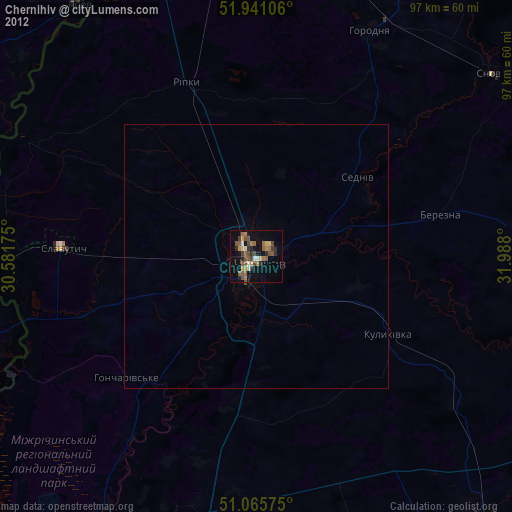
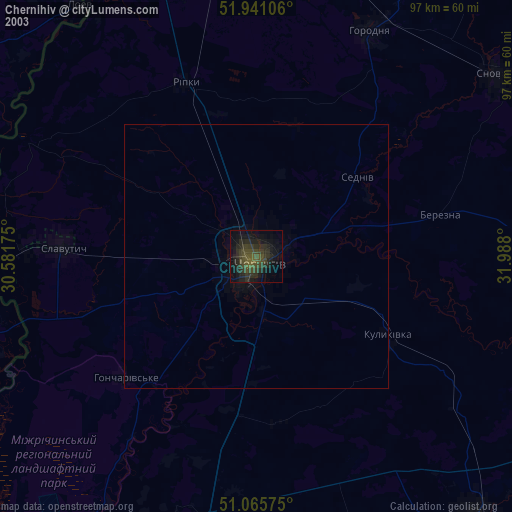
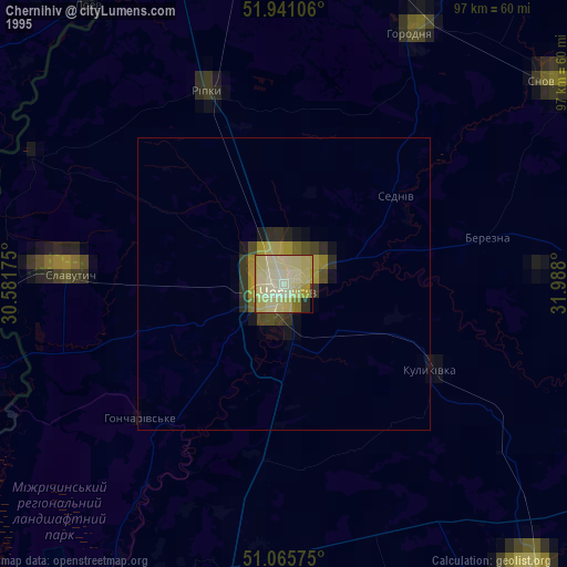
Chernihiv night lights from space
Night Light of Chernihiv from space (Ukraine) Src. Average luminocity for 10x10km area is 9.1404% and for 50x50km: 0.3836%.
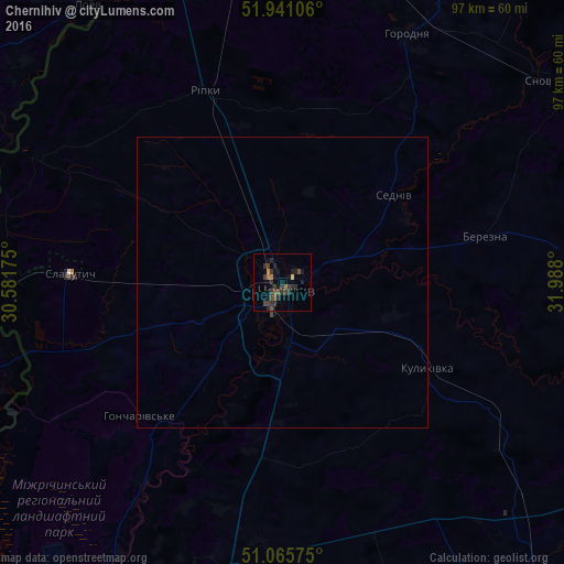
Analysis of Chernihiv night lights 2016
Square area 10x10 km:
 0%
0%90-99
0.13%80-89
0.4%70-79
0.27%60-69
1.6%50-59
0.8%40-49
3.21%30-39
6.68%20-29
4.55%10-19
6.15%0-9
76.2%Square area 50x50 km:
0%90-99
0.01%80-89
0.02%70-79
0.01%60-69
0.06%50-59
0.03%40-49
0.15%30-39
0.27%20-29
0.18%10-19
0.24%0-9
99.03%Clear (daylight) street map image can be seen on geolist.org.
Map coordinates:
51° 56' 27.8" North, 30° 34' 54.3" East
51° 30' 19.8" North, 31° 17' 5.5" East
51° 3' 56.7" North, 31° 59' 16.8" East
Some cities around Chernihiv sort by population:
• Slavutych
39.3 km =24.4 mi,  272°
272°
• Horodnya
48 km =29.8 mi,  26°
26°
• Mena
64.4 km =40 mi,  88°
88°
• Shchors
57.3 km =35.6 mi,  52°
52°
• Ripky
35.7 km =22.2 mi,  337°
337°
• Loyew, BY
59.4 km =36.9 mi,  325°
325°
• Kulykivka
29.1 km =18.1 mi,  120°
120°
• Berezna
35.3 km =21.9 mi,  77°
77°
710735 (p: 307,684)
Sources (retrieved 2019-11-25):
» NASA, Earths city lights 1995
» NASA city lights 2003
» Earth at Night: Flat Maps 2012, 2016