Novohrad-Volynskyi night lights from space
Night Light of Novohrad-Volynskyi (Zhytomyr) from space (Ukraine) Src. Average luminocity for 10x10km area is 5.9465% and for 50x50km: 0.4674%.
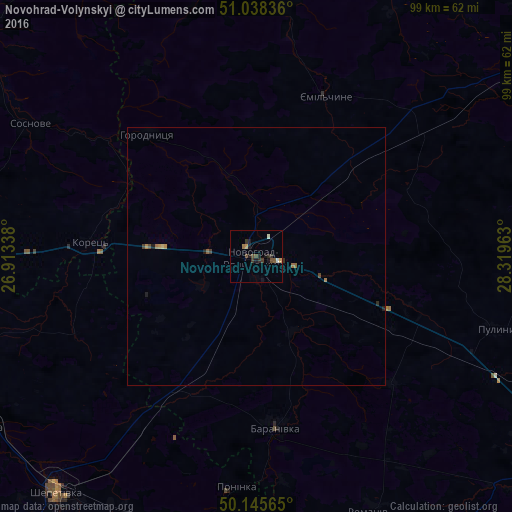
Analysis of Novohrad-Volynskyi night lights 2016
Square area 10x10 km:
 0%
0%90-99
1.07%80-89
0%70-79
1.07%60-69
0.53%50-59
1.34%40-49
1.34%30-39
2.14%20-29
1.87%10-19
3.48%0-9
87.17%Square area 50x50 km:
0%90-99
0.04%80-89
0.02%70-79
0.09%60-69
0.09%50-59
0.11%40-49
0.1%30-39
0.15%20-29
0.11%10-19
0.21%0-9
99.06%Clear (daylight) street map image can be seen on geolist.org.
Map coordinates:
51° 2' 18.1" North, 26° 54' 48.2" East
50° 35' 38.8" North, 27° 36' 59.4" East
50° 8' 44.3" North, 28° 19' 10.7" East
Some cities around Novohrad-Volynskyi sort by population:
• Shepetivka
60 km =37.3 mi,  220°
220°
• Slavuta
62.4 km =38.8 mi,  238°
238°
• Polonne
52.8 km =32.8 mi,  188°
188°
• Baranivka
33.2 km =20.6 mi,  174°
174°
• Korets
32.3 km =20.1 mi,  274°
274°
• Poninka
45.9 km =28.5 mi, 187°
• Horodnytsya
31.7 km =19.7 mi,  318°
318°
• Hoshcha
66.5 km =41.3 mi, 270°
699553 (p: 55,925)
Sources (retrieved 2019-11-25):
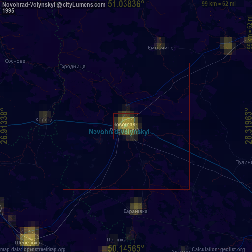
» NASA, Earths city lights 1995
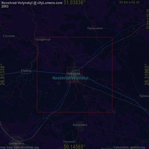
» NASA city lights 2003
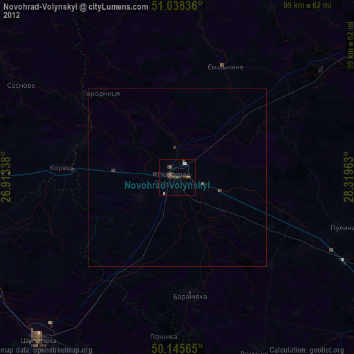
» Earth at Night: Flat Maps 2012, 2016