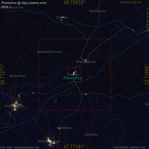
Pomichna night lights from space
Night Light of Pomichna (Kirovohrad) from space (Ukraine) Src. Average luminocity for 10x10km area is 1.7039% and for 50x50km: 0.1385%.
Analysis of Pomichna night lights 2016
Square area 10x10 km:
 0.3%
0.3%90-99
0.3%80-89
0%70-79
0%60-69
0.6%50-59
0.6%40-49
0.6%30-39
0%20-29
0%10-19
0.6%0-9
97.02%Square area 50x50 km:
0.01%90-99
0.01%80-89
0%70-79
0%60-69
0.02%50-59
0.03%40-49
0.1%30-39
0.02%20-29
0.08%10-19
0.05%0-9
99.67%Clear (daylight) street map image can be seen on geolist.org.
Map coordinates:
48° 42' 30.1" North, 30° 42' 45.8" East
48° 14' 32" North, 31° 24' 57" East
47° 46' 18.5" North, 32° 7' 8.3" East
Some cities around Pomichna sort by population:
• Pervomays’k
47.3 km =29.4 mi,  242°
242°
• Yuzhnoukrains'k
50.3 km =31.3 mi,  200°
200°
• Novoukrayinka
12.5 km =7.8 mi,  41°
41°
• Novomyrhorod
62.2 km =38.6 mi,  15°
15°
• Mala Vyska
47.5 km =29.5 mi, 20°
• Arbuzynka
37.7 km =23.4 mi,  190°
190°
• Pobugskoye
61.6 km =38.3 mi,  262°
262°
• Rivne
25.1 km =15.6 mi,  88°
88°
696581 (p: 10,539)
Sources (retrieved 2019-11-25):
» Earth at Night: Flat Maps 2012, 2016