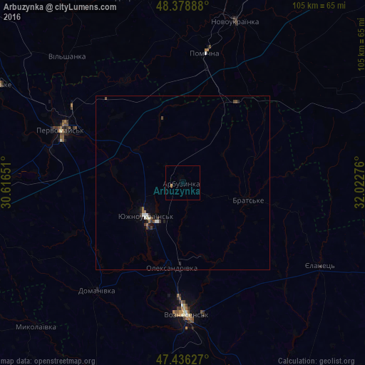
Arbuzynka night lights from space
Night Light of Arbuzynka (Mykolaiv) from space (Ukraine) Src. Average luminocity for 10x10km area is 0.4118% and for 50x50km: 0.5638%.
Analysis of Arbuzynka night lights 2016
Square area 10x10 km:
 0%
0%90-99
0%80-89
0%70-79
0%60-69
0.55%50-59
0%40-49
0%30-39
0%20-29
0%10-19
0%0-9
99.45%Square area 50x50 km:
0.07%90-99
0.09%80-89
0.02%70-79
0%60-69
0.14%50-59
0.03%40-49
0.13%30-39
0.16%20-29
0.1%10-19
0.13%0-9
99.13%Clear (daylight) street map image can be seen on geolist.org.
Map coordinates:
48° 22' 44" North, 30° 36' 59.4" East
47° 54' 35" North, 31° 19' 10.7" East
47° 26' 10.6" North, 32° 1' 21.9" East
Some cities around Arbuzynka sort by population:
• Pervomays’k
38 km =23.6 mi,  293°
293°
• Voznesensk
38.3 km =23.8 mi,  178°
178°
• Yuzhnoukrains'k
14.5 km =9 mi,  224°
224°
• Novoukrayinka
48.9 km =30.4 mi,  18°
18°
• Pomichna
37.7 km =23.4 mi,  10°
10°
• Vradiyivka
54.5 km =33.9 mi,  264°
264°
• Domanivka
39.6 km =24.6 mi, 218°
• Rivne
49.5 km =30.8 mi,  40°
40°
713222 (p: 7,140)
Sources (retrieved 2019-11-25):
» Earth at Night: Flat Maps 2012, 2016