Chutove night lights from space
Night Light of Chutove (Poltava) from space (Ukraine) Src. Average luminocity for 10x10km area is 0.2246% and for 50x50km: 0.0907%.
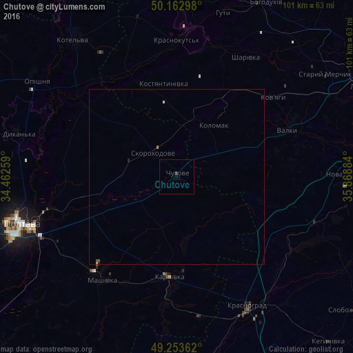
Analysis of Chutove night lights 2016
Square area 10x10 km:
 0%
0%90-99
0%80-89
0%70-79
0%60-69
0%50-59
0%40-49
0%30-39
0.53%20-29
0%10-19
0%0-9
99.47%Square area 50x50 km:
0%90-99
0.02%80-89
0.01%70-79
0%60-69
0.02%50-59
0.02%40-49
0.02%30-39
0.02%20-29
0.03%10-19
0%0-9
99.85%Clear (daylight) street map image can be seen on geolist.org.
Map coordinates:
50° 9' 46.7" North, 34° 27' 45.3" East
49° 42' 37.5" North, 35° 9' 56.6" East
49° 15' 13" North, 35° 52' 7.8" East
Some cities around Chutove sort by population:
• Poltava
46.8 km =29.1 mi,  253°
253°
• Krasnohrad
41.8 km =26 mi,  151°
151°
• Karlivka
28.3 km =17.6 mi,  185°
185°
• Kotel’va
49.4 km =30.7 mi,  323°
323°
• Valky
35 km =21.7 mi,  66°
66°
• Krasnokuts’k
39.5 km =24.5 mi,  359°
359°
• Dykan’ka
47.5 km =29.5 mi,  285°
285°
• Oposhnya
48.2 km =30 mi,  304°
304°
710342 (p: 6,274)
Sources (retrieved 2019-11-25):
» Earth at Night: Flat Maps 2012, 2016