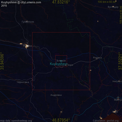
Kuybysheve night lights from space
Night Light of Kuybysheve (Zaporizhia) from space (Ukraine) Src. Average luminocity for 10x10km area is 0.308% and for 50x50km: 0.017%.
Analysis of Kuybysheve night lights 2016
Square area 10x10 km:
 0%
0%90-99
0%80-89
0%70-79
0%60-69
0%50-59
0%40-49
0%30-39
0%20-29
1.19%10-19
0%0-9
98.81%Square area 50x50 km:
0%90-99
0%80-89
0%70-79
0%60-69
0%50-59
0%40-49
0%30-39
0.01%20-29
0.05%10-19
0%0-9
99.94%Clear (daylight) street map image can be seen on geolist.org.
Map coordinates:
47° 49' 55.8" North, 35° 56' 45.5" East
47° 21' 28.8" North, 36° 38' 56.7" East
46° 52' 46.3" North, 37° 21' 8" East
Some cities around Kuybysheve sort by population:
• Berdyansk
66.7 km =41.4 mi,  170°
170°
• Volnovakha
69.2 km =43 mi,  67°
67°
• Polohy
32.9 km =20.4 mi,  295°
295°
• Orikhiv
68.9 km =42.8 mi,  289°
289°
• Hulyaypole
45 km =28 mi,  319°
319°
• Manhush
60.2 km =37.4 mi,  123°
123°
• Staryy Krym
67.1 km =41.7 mi,  109°
109°
• Yalta
64.5 km =40.1 mi,  132°
132°
703494 (p: 7,832)
Sources (retrieved 2019-11-25):
» Earth at Night: Flat Maps 2012, 2016