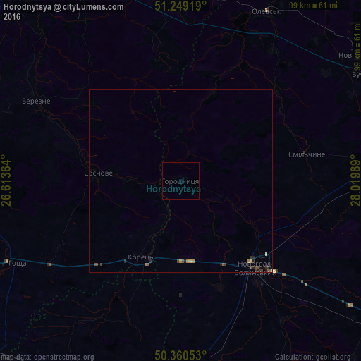
Horodnytsya night lights from space
Night Light of Horodnytsya (Zhytomyr) from space (Ukraine) Src. Average luminocity for 10x10km area is 0% and for 50x50km: 0.3824%.
Analysis of Horodnytsya night lights 2016
Square area 10x10 km:
 0%
0%90-99
0%80-89
0%70-79
0%60-69
0%50-59
0%40-49
0%30-39
0%20-29
0%10-19
0%0-9
100%Square area 50x50 km:
0%90-99
0.03%80-89
0.02%70-79
0.07%60-69
0.08%50-59
0.1%40-49
0.11%30-39
0.1%20-29
0.11%10-19
0.14%0-9
99.22%Clear (daylight) street map image can be seen on geolist.org.
Map coordinates:
51° 14' 57.1" North, 26° 36' 49.1" East
50° 48' 25.1" North, 27° 19' 0.3" East
50° 21' 37.9" North, 28° 1' 11.6" East
Some cities around Horodnytsya sort by population:
• Novohrad-Volynskyi
31.7 km =19.7 mi,  138°
138°
• Slavuta
64.6 km =40.1 mi,  209°
209°
• Netishyn
70.5 km =43.8 mi,  222°
222°
• Kostopil’
61.2 km =38 mi,  277°
277°
• Baranivka
61.7 km =38.3 mi,  156°
156°
• Rokytne
53 km =32.9 mi,  352°
352°
• Korets
23.9 km =14.9 mi, 207°
• Hoshcha
50.7 km =31.5 mi,  243°
243°
708324 (p: 5,238)
Sources (retrieved 2019-11-25):
» Earth at Night: Flat Maps 2012, 2016