Ivanivka night lights from space
Night Light of Ivanivka (Kherson) from space (Ukraine) Src. Average luminocity for 10x10km area is 0.1429% and for 50x50km: 0.0057%.
Analysis of Ivanivka night lights 2016
Square area 10x10 km:
 0%
0%90-99
0%80-89
0%70-79
0%60-69
0%50-59
0%40-49
0%30-39
0%20-29
0.6%10-19
0%0-9
99.4%Square area 50x50 km:
0%90-99
0%80-89
0%70-79
0%60-69
0%50-59
0%40-49
0%30-39
0%20-29
0.02%10-19
0%0-9
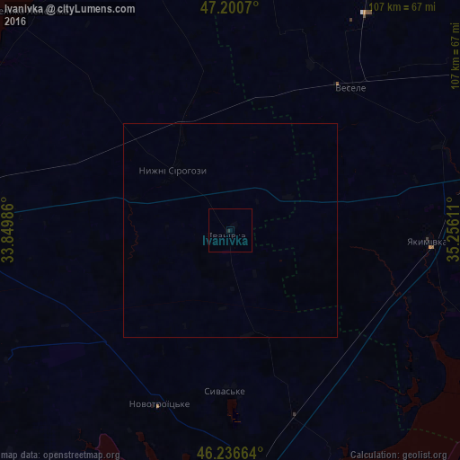
99.98%Clear (daylight) street map image can be seen on geolist.org.
Map coordinates:
47° 12' 2.5" North, 33° 50' 59.5" East
46° 43' 15" North, 34° 33' 10.7" East
46° 14' 11.9" North, 35° 15' 22" East
Some cities around Ivanivka sort by population:
• Melitopol
63.5 km =39.5 mi,  77°
77°
• Heniches’k
63.6 km =39.5 mi,  162°
162°
• Yakymivka
46.3 km =28.8 mi,  92°
92°
• Vesele
42.7 km =26.5 mi,  40°
40°
• Novooleksiyivka
55.6 km =34.5 mi,  173°
173°
• Verkhniy Rohachyk
61.1 km =38 mi,  344°
344°
• Nyzhni Sirohozy
19.3 km =12 mi,  317°
317°
• Mala Bilozerka
65.3 km =40.6 mi,  26°
26°
707453 (p: 5,036)
Sources (retrieved 2019-11-25):
» Earth at Night: Flat Maps 2012, 2016