Yakymivka night lights from space
Night Light of Yakymivka (Zaporizhia) from space (Ukraine) Src. Average luminocity for 10x10km area is 1.0818% and for 50x50km: 2.0764%.
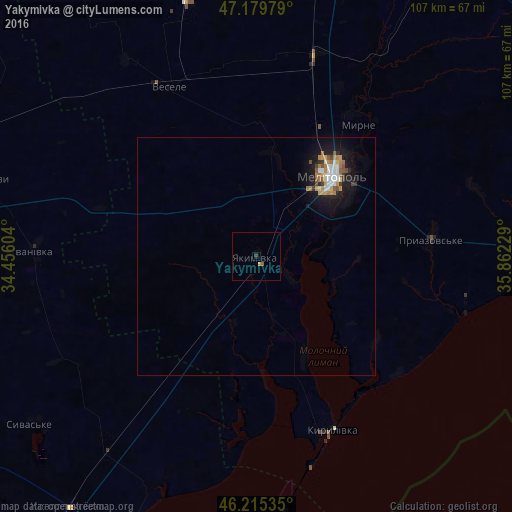
Analysis of Yakymivka night lights 2016
Square area 10x10 km:
 0%
0%90-99
0%80-89
0%70-79
0.6%60-69
0%50-59
0.6%40-49
0%30-39
0.6%20-29
0%10-19
0%0-9
98.21%Square area 50x50 km:
0.34%90-99
0.3%80-89
0.09%70-79
0.37%60-69
0.42%50-59
0.24%40-49
0.18%30-39
0.23%20-29
0.23%10-19
2.19%0-9
95.4%Clear (daylight) street map image can be seen on geolist.org.
Map coordinates:
47° 10' 47.2" North, 34° 27' 21.7" East
46° 41' 59" North, 35° 9' 33" East
46° 12' 55.3" North, 35° 51' 44.2" East
Some cities around Yakymivka sort by population:
• Melitopol
22.8 km =14.2 mi,  43°
43°
• Heniches’k
64.3 km =40 mi,  205°
205°
• Mykhaylivka
63.9 km =39.7 mi,  4°
4°
• Kostyantynivka
23.9 km =14.9 mi,  57°
57°
• Vesele
39.6 km =24.6 mi,  332°
332°
• Nyzhni Sirohozy
61.6 km =38.3 mi,  285°
285°
• Mala Bilozerka
63.2 km =39.3 mi,  344°
344°
• Ivanivka
46.3 km =28.8 mi,  272°
272°
713743 (p: 12,353)
Sources (retrieved 2019-11-25):
» Earth at Night: Flat Maps 2012, 2016