Berdyansk night lights from space
Night Light of Berdyansk (Zaporizhia) from space (Ukraine) Src. Average luminocity for 10x10km area is 29.6101% and for 50x50km: 1.5163%.
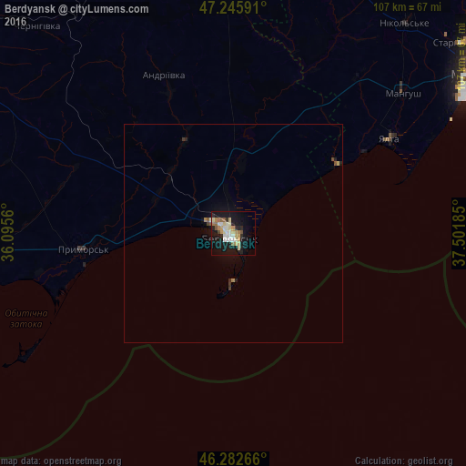
Analysis of Berdyansk night lights 2016
Square area 10x10 km:
 2.68%
2.68%90-99
8.33%80-89
3.72%70-79
4.46%60-69
4.46%50-59
2.23%40-49
1.49%30-39
0.6%20-29
5.8%10-19
34.38%0-9
31.85%Square area 50x50 km:
0.11%90-99
0.34%80-89
0.17%70-79
0.18%60-69
0.22%50-59
0.13%40-49
0.11%30-39
0.12%20-29
0.3%10-19
1.65%0-9
96.67%Clear (daylight) street map image can be seen on geolist.org.
Map coordinates:
47° 14' 45.3" North, 36° 5' 44.2" East
46° 45' 59.2" North, 36° 47' 55.4" East
46° 16' 57.6" North, 37° 30' 6.7" East
Some cities around Berdyansk sort by population:
• Mariupol
67.2 km =41.8 mi,  57°
57°
• Prymors’k
34.8 km =21.6 mi,  264°
264°
• Sartana
81.6 km =50.7 mi, 56°
• Manhush
50.5 km =31.4 mi,  50°
50°
• Kuybysheve
66.7 km =41.4 mi,  350°
350°
• Dolzhanskaya, RU
78 km =48.5 mi,  100°
100°
• Staryy Krym
68.4 km =42.5 mi, 50°
• Yalta
42.2 km =26.2 mi, 58°
712451 (p: 118,284)
Sources (retrieved 2019-11-25):
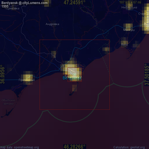
» NASA, Earths city lights 1995
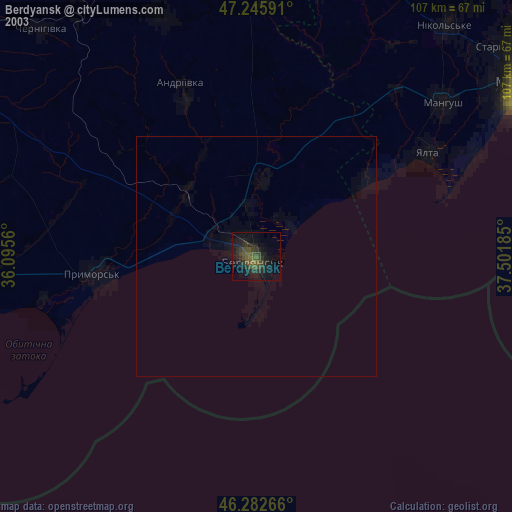
» NASA city lights 2003
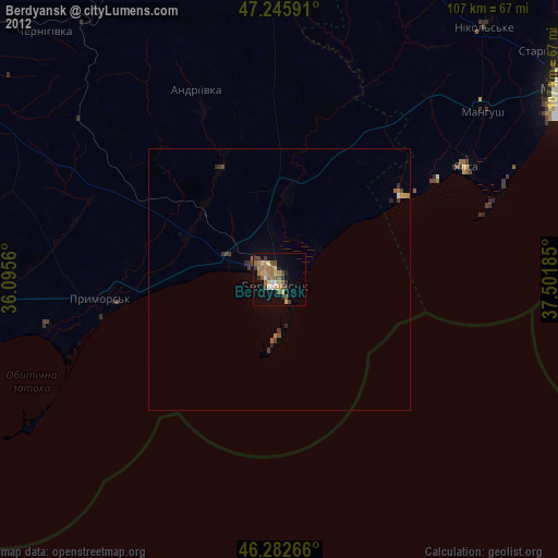
» Earth at Night: Flat Maps 2012, 2016