Volnovakha night lights from space
Night Light of Volnovakha (Donetsk) from space (Ukraine) Src. Average luminocity for 10x10km area is 5.1946% and for 50x50km: 0.3956%.

Analysis of Volnovakha night lights 2016
Square area 10x10 km:
 0.14%
0.14%90-99
0.43%80-89
0%70-79
1.56%60-69
0.43%50-59
1.42%40-49
1.42%30-39
1.42%20-29
1.42%10-19
0.85%0-9
90.91%Square area 50x50 km:
0.01%90-99
0.02%80-89
0%70-79
0.09%60-69
0.05%50-59
0.13%40-49
0.16%30-39
0.09%20-29
0.1%10-19
0.12%0-9
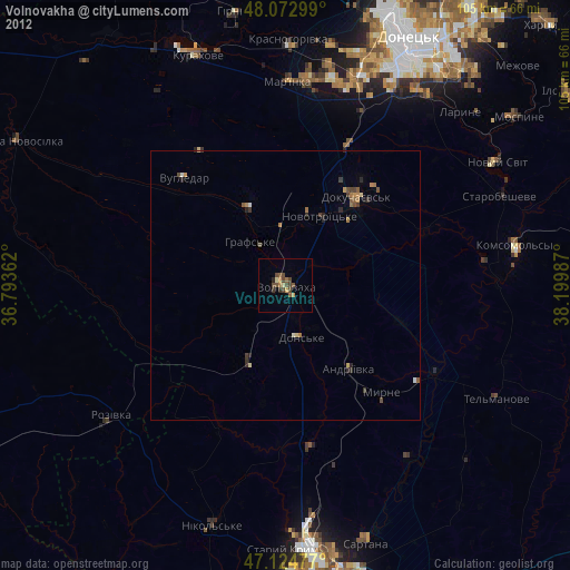
99.24%Clear (daylight) street map image can be seen on geolist.org.
Map coordinates:
48° 4' 22.8" North, 36° 47' 37" East
47° 36' 3.7" North, 37° 29' 48.3" East
47° 7' 29.2" North, 38° 11' 59.5" East
Some cities around Volnovakha sort by population:
• Donetsk
52.2 km =32.4 mi,  25°
25°
• Dokuchayevs’k
21.5 km =13.4 mi,  39°
39°
• Kurakhovo
45.6 km =28.3 mi,  339°
339°
• Sartana
49.7 km =30.9 mi,  162°
162°
• Mar'yinka
38.3 km =23.8 mi,  0°
0°
• Novyy Svit
45.4 km =28.2 mi,  59°
59°
• Starobesheve
43.3 km =26.9 mi,  67°
67°
• Staryy Krym
48.9 km =30.4 mi,  180°
180°
689198 (p: 23,731)
Sources (retrieved 2019-11-25):
» Earth at Night: Flat Maps 2012, 2016