Talalayivka night lights from space
Night Light of Talalayivka (Chernihiv) from space (Ukraine) Src. Average luminocity for 10x10km area is 0% and for 50x50km: 0.0731%.
Analysis of Talalayivka night lights 2016
Square area 10x10 km:
 0%
0%90-99
0%80-89
0%70-79
0%60-69
0%50-59
0%40-49
0%30-39
0%20-29
0%10-19
0%0-9
100%Square area 50x50 km:
0%90-99
0%80-89
0%70-79
0%60-69
0%50-59
0.02%40-49
0.04%30-39
0.03%20-29
0.07%10-19
0.06%0-9
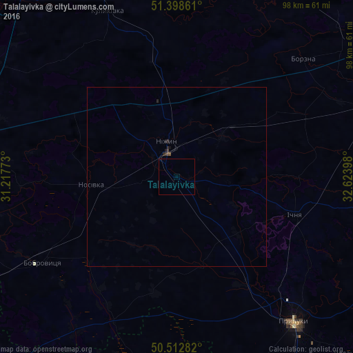
99.77%Clear (daylight) street map image can be seen on geolist.org.
Map coordinates:
51° 23' 55" North, 31° 13' 3.8" East
50° 57' 28.2" North, 31° 55' 15.1" East
50° 30' 46.2" North, 32° 37' 26.3" East
Some cities around Talalayivka sort by population:
• Nizhyn
10.3 km =6.4 mi,  346°
346°
• Pryluky
52.2 km =32.4 mi,  141°
141°
• Nosivka
23.9 km =14.9 mi,  262°
262°
• Ichnya
34.8 km =21.6 mi,  107°
107°
• Bobrovytsya
43.7 km =27.2 mi,  237°
237°
• Borzna
48.3 km =30 mi,  46°
46°
• Zgurovka
51.5 km =32 mi,  190°
190°
• Kulykivka
50 km =31.1 mi,  337°
337°
691942 (p: 5,054)
Sources (retrieved 2019-11-25):
» Earth at Night: Flat Maps 2012, 2016