Borzna night lights from space
Night Light of Borzna (Chernihiv) from space (Ukraine) Src. Average luminocity for 10x10km area is 0% and for 50x50km: 0.0003%.
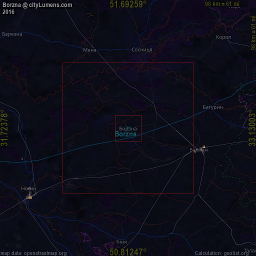
Analysis of Borzna night lights 2016
Square area 10x10 km:
 0%
0%90-99
0%80-89
0%70-79
0%60-69
0%50-59
0%40-49
0%30-39
0%20-29
0%10-19
0%0-9
100%Square area 50x50 km:
0%90-99
0%80-89
0%70-79
0%60-69
0%50-59
0%40-49
0%30-39
0%20-29
0%10-19
0%0-9
100%Clear (daylight) street map image can be seen on geolist.org.
Map coordinates:
51° 41' 33.3" North, 31° 43' 25.6" East
51° 15' 16.7" North, 32° 25' 36.8" East
50° 48' 44.9" North, 33° 7' 48.1" East
Some cities around Borzna sort by population:
• Konotop
54 km =33.6 mi,  91°
91°
• Nizhyn
44.1 km =27.4 mi,  238°
238°
• Bakhmach
29.5 km =18.3 mi,  105°
105°
• Mena
33.1 km =20.6 mi,  333°
333°
• Ichnya
43.7 km =27.2 mi,  182°
182°
• Sosnytsya
30.4 km =18.9 mi,  9°
9°
• Korop
50.6 km =31.4 mi,  46°
46°
• Talalayivka
48.3 km =30 mi,  226°
226°
711536 (p: 11,363)
Sources (retrieved 2019-11-25):
» Earth at Night: Flat Maps 2012, 2016