Mena night lights from space
Night Light of Mena (Chernihiv) from space (Ukraine) Src. Average luminocity for 10x10km area is 0% and for 50x50km: 0.0004%.
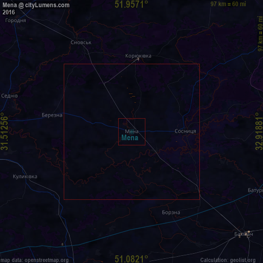
Analysis of Mena night lights 2016
Square area 10x10 km:
 0%
0%90-99
0%80-89
0%70-79
0%60-69
0%50-59
0%40-49
0%30-39
0%20-29
0%10-19
0%0-9
100%Square area 50x50 km:
0%90-99
0%80-89
0%70-79
0%60-69
0%50-59
0%40-49
0%30-39
0%20-29
0%10-19
0%0-9
100%Clear (daylight) street map image can be seen on geolist.org.
Map coordinates:
51° 57' 25.6" North, 31° 30' 45.2" East
51° 31' 18.1" North, 32° 12' 56.4" East
51° 4' 55.6" North, 32° 55' 7.7" East
Some cities around Mena sort by population:
• Bakhmach
57.3 km =35.6 mi,  131°
131°
• Koryukivka
27.6 km =17.1 mi,  4°
4°
• Shchors
37.9 km =23.5 mi,  330°
330°
• Borzna
33.1 km =20.6 mi,  153°
153°
• Sosnytsya
19.7 km =12.2 mi,  89°
89°
• Kulykivka
42.7 km =26.5 mi,  247°
247°
• Korop
51.6 km =32.1 mi,  84°
84°
• Berezna
30.3 km =18.8 mi,  280°
280°
701372 (p: 12,766)
Sources (retrieved 2019-11-25):
» Earth at Night: Flat Maps 2012, 2016