Nizhyn night lights from space
Night Light of Nizhyn (Chernihiv) from space (Ukraine) Src. Average luminocity for 10x10km area is 1.6939% and for 50x50km: 0.0738%.
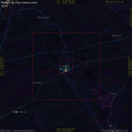
Analysis of Nizhyn night lights 2016
Square area 10x10 km:
 0%
0%90-99
0%80-89
0%70-79
0%60-69
0%50-59
0.53%40-49
1.07%30-39
0.8%20-29
1.34%10-19
1.6%0-9
94.65%Square area 50x50 km:
0%90-99
0%80-89
0%70-79
0%60-69
0%50-59
0.02%40-49
0.04%30-39
0.03%20-29
0.08%10-19
0.06%0-9
99.76%Clear (daylight) street map image can be seen on geolist.org.
Map coordinates:
51° 29' 16.6" North, 31° 11' 1.5" East
51° 2' 52.8" North, 31° 53' 12.8" East
50° 36' 13.9" North, 32° 35' 24" East
Some cities around Nizhyn sort by population:
• Nosivka
24.9 km =15.5 mi,  238°
238°
• Mena
57.4 km =35.7 mi,  23°
23°
• Ichnya
41.1 km =25.5 mi,  120°
120°
• Bobrovytsya
48.1 km =29.9 mi,  225°
225°
• Borzna
44.1 km =27.4 mi,  58°
58°
• Kozelets’
55.6 km =34.5 mi,  254°
254°
• Kulykivka
39.9 km =24.8 mi,  335°
335°
• Talalayivka
10.3 km =6.4 mi,  166°
166°
699942 (p: 75,499)
Sources (retrieved 2019-11-25):
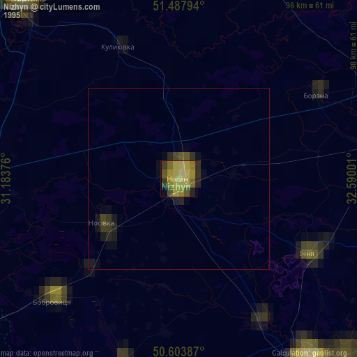
» NASA, Earths city lights 1995
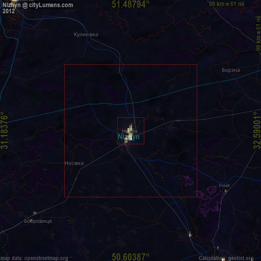
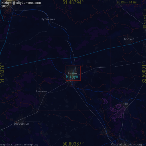
» NASA city lights 2003
» Earth at Night: Flat Maps 2012, 2016