Nosivka night lights from space
Night Light of Nosivka (Chernihiv) from space (Ukraine) Src. Average luminocity for 10x10km area is 0% and for 50x50km: 0.0933%.
Analysis of Nosivka night lights 2016
Square area 10x10 km:
 0%
0%90-99
0%80-89
0%70-79
0%60-69
0%50-59
0%40-49
0%30-39
0%20-29
0%10-19
0%0-9
100%Square area 50x50 km:
0%90-99
0.02%80-89
0%70-79
0%60-69
0%50-59
0.02%40-49
0.04%30-39
0.03%20-29
0.07%10-19
0.06%0-9
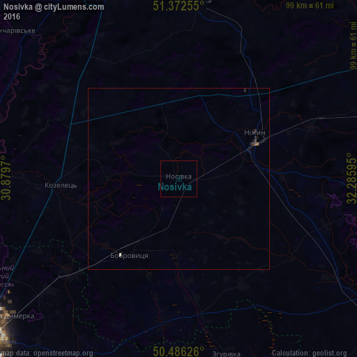
99.74%Clear (daylight) street map image can be seen on geolist.org.
Map coordinates:
51° 22' 21.2" North, 30° 52' 46.9" East
50° 55' 53.5" North, 31° 34' 58.2" East
50° 29' 10.5" North, 32° 17' 9.4" East
Some cities around Nosivka sort by population:
• Nizhyn
24.9 km =15.5 mi,  58°
58°
• Ichnya
57.4 km =35.7 mi,  97°
97°
• Bobrovytsya
24.4 km =15.2 mi,  212°
212°
• Kozelets’
32.4 km =20.1 mi,  266°
266°
• Oster
49.1 km =30.5 mi, 272°
• Zgurovka
49.8 km =30.9 mi,  163°
163°
• Kulykivka
49.3 km =30.6 mi,  5°
5°
• Talalayivka
23.9 km =14.9 mi,  82°
82°
699917 (p: 15,164)
Sources (retrieved 2019-11-25):
» Earth at Night: Flat Maps 2012, 2016