Vapnyarka night lights from space
Night Light of Vapnyarka (Vinnyts'ka) from space (Ukraine) Src. Average luminocity for 10x10km area is 1.2693% and for 50x50km: 0.1276%.
Analysis of Vapnyarka night lights 2016
Square area 10x10 km:
 0%
0%90-99
0%80-89
0%70-79
0%60-69
1.19%50-59
0%40-49
0.6%30-39
0%20-29
0%10-19
0.6%0-9
97.62%Square area 50x50 km:
0%90-99
0%80-89
0%70-79
0%60-69
0.06%50-59
0.01%40-49
0.05%30-39
0.04%20-29
0.11%10-19
0.08%0-9
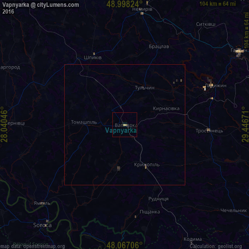
99.66%Clear (daylight) street map image can be seen on geolist.org.
Map coordinates:
48° 59' 53.7" North, 28° 2' 25.7" East
48° 32' 5.2" North, 28° 44' 36.9" East
48° 4' 1.4" North, 29° 26' 48.2" East
Some cities around Vapnyarka sort by population:
• Soroca, MD
54 km =33.6 mi,  218°
218°
• Ladyzhyn
39.9 km =24.8 mi,  65°
65°
• Tulchyn
17.3 km =10.7 mi,  25°
25°
• Nemyriv
49 km =30.4 mi,  8°
8°
• Camenca, MD
56 km =34.8 mi,  183°
183°
• Kryzhopil’
19.2 km =11.9 mi,  151°
151°
• Sharhorod
54.9 km =34.1 mi,  296°
296°
• Bratslav
35.1 km =21.8 mi,  24°
24°
690485 (p: 8,443)
Sources (retrieved 2019-11-25):
» Earth at Night: Flat Maps 2012, 2016