Soroca night lights from space
Night Light of Soroca (Raionul Soroca) from space (Moldova) Src. Average luminocity for 10x10km area is 0.7545% and for 50x50km: 0.0486%.
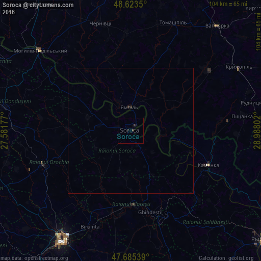
Analysis of Soroca night lights 2016
Square area 10x10 km:
 0%
0%90-99
0%80-89
0%70-79
0%60-69
0%50-59
0%40-49
1.04%30-39
0.15%20-29
0%10-19
1.19%0-9
97.62%Square area 50x50 km:
0%90-99
0%80-89
0%70-79
0%60-69
0%50-59
0%40-49
0.04%30-39
0.02%20-29
0.03%10-19
0.07%0-9
99.84%Clear (daylight) street map image can be seen on geolist.org.
Map coordinates:
48° 37' 24.6" North, 27° 34' 54.4" East
48° 9' 23.7" North, 28° 17' 5.6" East
47° 41' 7.4" North, 28° 59' 16.9" East
Some cities around Soroca sort by population:
• Mohyliv-Podilskyi, UA
48.3 km =30 mi,  311°
311°
• Floreşti
29.5 km =18.3 mi,  178°
178°
• Drochia
37.5 km =23.3 mi,  248°
248°
• Briceni
48.5 km =30.1 mi,  297°
297°
• Camenca
33.7 km =20.9 mi,  114°
114°
• Donduşeni
50.9 km =31.6 mi,  280°
280°
• Kryzhopil’, UA
49.8 km =30.9 mi,  59°
59°
• Otaci
47.3 km =29.4 mi, 310°
617367 (p: 27,423)
Sources (retrieved 2019-11-25):
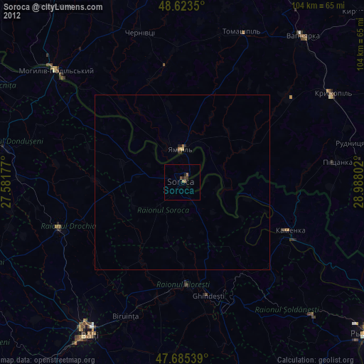
» Earth at Night: Flat Maps 2012, 2016