Myronivka night lights from space
Night Light of Myronivka (Kyiv) from space (Ukraine) Src. Average luminocity for 10x10km area is 2.5682% and for 50x50km: 0.193%.
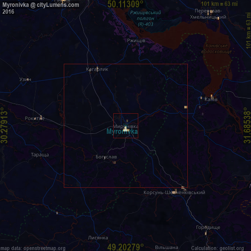
Analysis of Myronivka night lights 2016
Square area 10x10 km:
 0.27%
0.27%90-99
0.27%80-89
0.53%70-79
0.67%60-69
0.67%50-59
0.27%40-49
0%30-39
0.53%20-29
0%10-19
0%0-9
96.79%Square area 50x50 km:
0.01%90-99
0.01%80-89
0.03%70-79
0.04%60-69
0.03%50-59
0.04%40-49
0.02%30-39
0.03%20-29
0.09%10-19
0.02%0-9
99.67%Clear (daylight) street map image can be seen on geolist.org.
Map coordinates:
50° 6' 47.1" North, 30° 16' 44.9" East
49° 39' 36.3" North, 30° 58' 56.1" East
49° 12' 10" North, 31° 41' 7.4" East
Some cities around Myronivka sort by population:
• Kaniv
35.8 km =22.2 mi,  73°
73°
• Korsun-Shevchenkivskyi
33.4 km =20.8 mi,  143°
143°
• Bohuslav
14.6 km =9.1 mi,  212°
212°
• Kaharlyk
25.1 km =15.6 mi,  333°
333°
• Tarashcha
37 km =23 mi,  252°
252°
• Uzyn
44.8 km =27.8 mi,  294°
294°
• Rzhyshchiv
34.6 km =21.5 mi,  7°
7°
• Lysianka
46.7 km =29 mi,  193°
193°
701031 (p: 12,871)
Sources (retrieved 2019-11-25):
» Earth at Night: Flat Maps 2012, 2016