Drahichyn night lights from space
Night Light of Drahichyn (Brest) from space (Belarus) Src. Average luminocity for 10x10km area is 0.0833% and for 50x50km: 0.0111%.
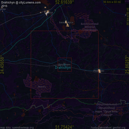
Analysis of Drahichyn night lights 2016
Square area 10x10 km:
 0%
0%90-99
0%80-89
0%70-79
0%60-69
0%50-59
0%40-49
0%30-39
0%20-29
0%10-19
0.53%0-9
99.47%Square area 50x50 km:
0%90-99
0%80-89
0%70-79
0%60-69
0%50-59
0%40-49
0%30-39
0%20-29
0%10-19
0.02%0-9
99.98%Clear (daylight) street map image can be seen on geolist.org.
Map coordinates:
52° 36' 59" North, 24° 27' 23.7" East
52° 11' 14.6" North, 25° 9' 34.9" East
51° 45' 15.3" North, 25° 51' 46.2" East
Some cities around Drahichyn sort by population:
• Pinsk
64.2 km =39.9 mi,  96°
96°
• Kobryn
54.8 km =34.1 mi,  273°
273°
• Byaroza
40.2 km =25 mi,  342°
342°
• Ivatsevichy
59.3 km =36.8 mi,  11°
11°
• Pruzhany
62.9 km =39.1 mi,  310°
310°
• Ivanava
26.1 km =16.2 mi, 100°
• Kamin-Kashyrskyi, UA
64.1 km =39.8 mi,  192°
192°
• Byelaazyorsk
31.8 km =19.8 mi,  2°
2°
628884 (p: 13,389)
Sources (retrieved 2019-11-25):
» Earth at Night: Flat Maps 2012, 2016