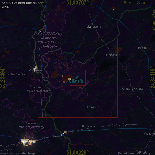
Shats’k night lights from space
Night Light of Shats’k (Volyn) from space (Ukraine) Src. Average luminocity for 10x10km area is 0.5027% and for 50x50km: 0.0713%.
Analysis of Shats’k night lights 2016
Square area 10x10 km:
 0%
0%90-99
0%80-89
0%70-79
0%60-69
0.4%50-59
0.4%40-49
0%30-39
0%20-29
0%10-19
0%0-9
99.2%Square area 50x50 km:
0%90-99
0%80-89
0%70-79
0%60-69
0.03%50-59
0.03%40-49
0.02%30-39
0%20-29
0.04%10-19
0%0-9
99.87%Clear (daylight) street map image can be seen on geolist.org.
Map coordinates:
51° 56' 15.6" North, 23° 14' 5.8" East
51° 30' 7.5" North, 23° 56' 17" East
51° 3' 44.2" North, 24° 38' 28.3" East
Some cities around Shats’k sort by population:
• Chełm, PL
51.4 km =31.9 mi,  219°
219°
• Kovel
62.3 km =38.7 mi,  120°
120°
• Włodawa, PL
27.4 km =17 mi,  281°
281°
• Liuboml
31.5 km =19.6 mi,  167°
167°
• Malaryta, BY
33.4 km =20.8 mi,  16°
16°
• Ratne
44.9 km =27.9 mi,  65°
65°
• Terespol, PL
67.5 km =41.9 mi,  340°
340°
• Stara Vyzhivka
35.5 km =22.1 mi,  101°
101°
694333 (p: 5,708)
Sources (retrieved 2019-11-25):
» Earth at Night: Flat Maps 2012, 2016