Malaryta night lights from space
Night Light of Malaryta (Brest) from space (Belarus) Src. Average luminocity for 10x10km area is 0.5336% and for 50x50km: 0.0438%.
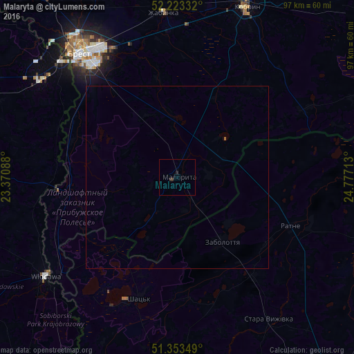
Analysis of Malaryta night lights 2016
Square area 10x10 km:
 0%
0%90-99
0%80-89
0%70-79
0%60-69
0%50-59
0%40-49
0%30-39
0.7%20-29
0.56%10-19
0.42%0-9
98.32%Square area 50x50 km:
0%90-99
0%80-89
0%70-79
0%60-69
0.01%50-59
0.01%40-49
0%30-39
0.03%20-29
0.02%10-19
0.02%0-9
99.92%Clear (daylight) street map image can be seen on geolist.org.
Map coordinates:
52° 13' 24" North, 23° 22' 15.2" East
51° 47' 25.8" North, 24° 4' 26.4" East
51° 21' 12.6" North, 24° 46' 37.7" East
Some cities around Malaryta sort by population:
• Brest
43.2 km =26.8 mi,  322°
322°
• Kobryn
50.9 km =31.6 mi,  22°
22°
• Włodawa, PL
45 km =28 mi,  233°
233°
• Zhabinka
45.6 km =28.3 mi,  354°
354°
• Ratne, UA
34.2 km =21.3 mi,  113°
113°
• Terespol, PL
44.6 km =27.7 mi, 315°
• Shats’k, UA
33.4 km =20.8 mi,  196°
196°
• Stara Vyzhivka, UA
46.7 km =29 mi,  147°
147°
625539 (p: 9,692)
Sources (retrieved 2019-11-25):
» Earth at Night: Flat Maps 2012, 2016