Kovel night lights from space
Night Light of Kovel (Volyn) from space (Ukraine) Src. Average luminocity for 10x10km area is 13.8053% and for 50x50km: 0.5552%.
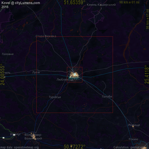
Analysis of Kovel night lights 2016
Square area 10x10 km:
 0.56%
0.56%90-99
0.56%80-89
2.24%70-79
1.54%60-69
3.22%50-59
2.66%40-49
3.92%30-39
2.1%20-29
1.4%10-19
3.5%0-9
78.29%Square area 50x50 km:
0.02%90-99
0.02%80-89
0.09%70-79
0.06%60-69
0.12%50-59
0.1%40-49
0.15%30-39
0.08%20-29
0.05%10-19
0.14%0-9
99.16%Clear (daylight) street map image can be seen on geolist.org.
Map coordinates:
51° 39' 12.9" North, 24° 0' 20" East
51° 12' 54.9" North, 24° 42' 31.2" East
50° 46' 21.8" North, 25° 24' 42.5" East
Some cities around Kovel sort by population:
• Novovolyns’k
66.5 km =41.3 mi,  215°
215°
• Volodymyr-Volynskyi
48.5 km =30.1 mi,  213°
213°
• Rozhyshche
51.4 km =31.9 mi,  130°
130°
• Kamin-Kashyrskyi
48.7 km =30.3 mi,  20°
20°
• Liuboml
46.8 km =29.1 mi,  271°
271°
• Ratne
51.9 km =32.2 mi,  346°
346°
• Shats’k
62.3 km =38.7 mi,  300°
300°
• Stara Vyzhivka
31 km =19.3 mi,  322°
322°
704617 (p: 66,400)
Sources (retrieved 2019-11-25):
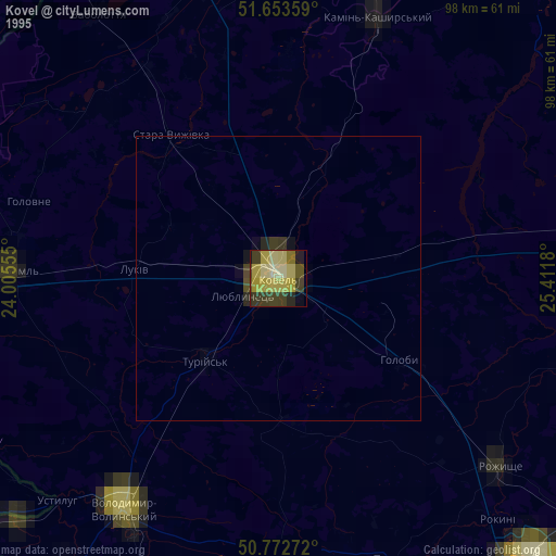
» NASA, Earths city lights 1995
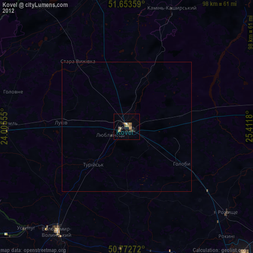
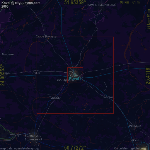
» NASA city lights 2003
» Earth at Night: Flat Maps 2012, 2016