Ratne night lights from space
Night Light of Ratne (Volyn) from space (Ukraine) Src. Average luminocity for 10x10km area is 0% and for 50x50km: 0.0136%.
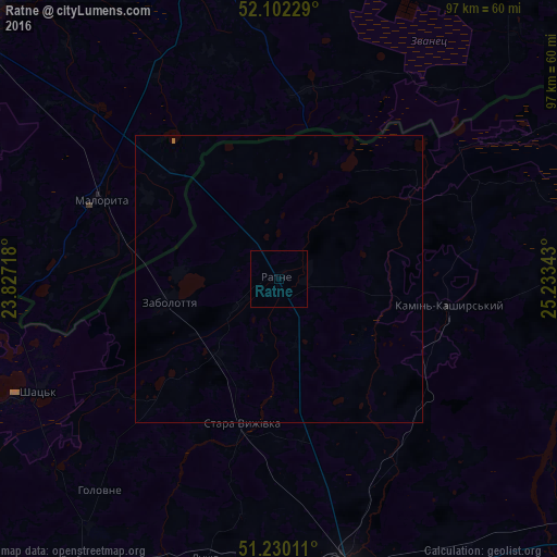
Analysis of Ratne night lights 2016
Square area 10x10 km:
 0%
0%90-99
0%80-89
0%70-79
0%60-69
0%50-59
0%40-49
0%30-39
0%20-29
0%10-19
0%0-9
100%Square area 50x50 km:
0%90-99
0%80-89
0%70-79
0%60-69
0.01%50-59
0.01%40-49
0%30-39
0%20-29
0%10-19
0%0-9
99.98%Clear (daylight) street map image can be seen on geolist.org.
Map coordinates:
52° 6' 8.2" North, 23° 49' 37.8" East
51° 40' 5.9" North, 24° 31' 49.1" East
51° 13' 48.4" North, 25° 14' 0.3" East
Some cities around Ratne sort by population:
• Kovel
51.9 km =32.2 mi,  166°
166°
• Kobryn, BY
61.8 km =38.4 mi,  348°
348°
• Kamin-Kashyrskyi
30 km =18.6 mi,  99°
99°
• Zhabinka, BY
68.8 km =42.8 mi,  328°
328°
• Liuboml
59.9 km =37.2 mi,  214°
214°
• Malaryta, BY
34.2 km =21.3 mi,  293°
293°
• Shats’k
44.9 km =27.9 mi,  245°
245°
• Stara Vyzhivka
26.4 km =16.4 mi,  193°
193°
695789 (p: 9,081)
Sources (retrieved 2019-11-25):
» Earth at Night: Flat Maps 2012, 2016