Husiatyn night lights from space
Night Light of Husiatyn (Ternopil) from space (Ukraine) Src. Average luminocity for 10x10km area is 0% and for 50x50km: 0.0527%.
Analysis of Husiatyn night lights 2016
Square area 10x10 km:
 0%
0%90-99
0%80-89
0%70-79
0%60-69
0%50-59
0%40-49
0%30-39
0%20-29
0%10-19
0%0-9
100%Square area 50x50 km:
0%90-99
0%80-89
0.02%70-79
0%60-69
0%50-59
0.02%40-49
0%30-39
0.02%20-29
0.02%10-19
0%0-9
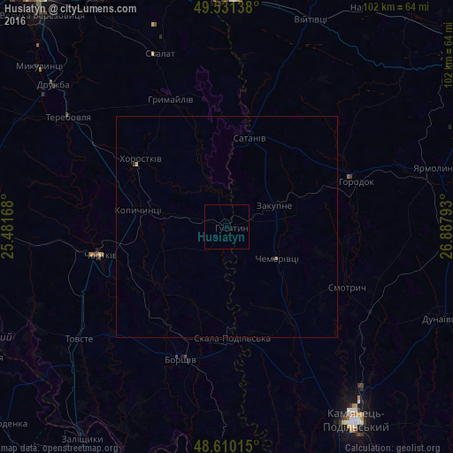
99.91%Clear (daylight) street map image can be seen on geolist.org.
Map coordinates:
49° 31' 53" North, 25° 28' 54" East
49° 4' 22.4" North, 26° 11' 5.3" East
48° 36' 36.5" North, 26° 53' 16.5" East
Some cities around Husiatyn sort by population:
• Chortkiv
28.9 km =18 mi,  257°
257°
• Horodok
30.8 km =19.1 mi,  70°
70°
• Terebovlya
42.9 km =26.7 mi,  306°
306°
• Borshchiv
31.7 km =19.7 mi,  199°
199°
• Yarmolyntsi
49.3 km =30.6 mi, 74°
• Khorostkiv
24.5 km =15.2 mi, 308°
• Kopychyntsi
20.3 km =12.6 mi,  279°
279°
• Makiv
48.2 km =30 mi,  129°
129°
707840 (p: 7,122)
Sources (retrieved 2019-11-25):
» Earth at Night: Flat Maps 2012, 2016