Makiv night lights from space
Night Light of Makiv (Khmelnytskyi) from space (Ukraine) Src. Average luminocity for 10x10km area is 0.0284% and for 50x50km: 1.1146%.
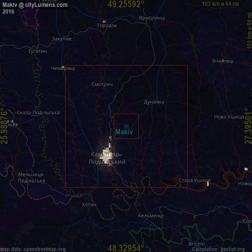
Analysis of Makiv night lights 2016
Square area 10x10 km:
 0%
0%90-99
0%80-89
0%70-79
0%60-69
0%50-59
0%40-49
0%30-39
0%20-29
0%10-19
0%0-9
100%Square area 50x50 km:
0.16%90-99
0.23%80-89
0.11%70-79
0.17%60-69
0.1%50-59
0%40-49
0.09%30-39
0.16%20-29
0.12%10-19
1.29%0-9
97.58%Clear (daylight) street map image can be seen on geolist.org.
Map coordinates:
49° 15' 21.3" North, 25° 59' 19.5" East
48° 47' 41.5" North, 26° 41' 30.8" East
48° 19' 46.3" North, 27° 23' 42" East
Some cities around Makiv sort by population:
• Kamianets-Podilskyi
14.5 km =9 mi,  212°
212°
• Horodok
41.8 km =26 mi,  349°
349°
• Dunaivtsi
16 km =9.9 mi,  48°
48°
• Borshchiv
47.5 km =29.5 mi,  271°
271°
• Khotyn
35.2 km =21.9 mi,  204°
204°
• Yarmolyntsi
45.5 km =28.3 mi,  13°
13°
• Husiatyn
48.2 km =30 mi,  309°
309°
• Klishkivtsi
51.3 km =31.9 mi,  218°
218°
702302 (p: 5,602)
Sources (retrieved 2019-11-25):
» Earth at Night: Flat Maps 2012, 2016