Borshchiv night lights from space
Night Light of Borshchiv (Ternopil) from space (Ukraine) Src. Average luminocity for 10x10km area is 0.7173% and for 50x50km: 0.1409%.
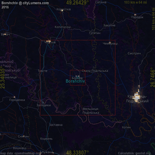
Analysis of Borshchiv night lights 2016
Square area 10x10 km:
 0%
0%90-99
0%80-89
0%70-79
0%60-69
0%50-59
0%40-49
0.71%30-39
0.43%20-29
0%10-19
1.14%0-9
97.73%Square area 50x50 km:
0%90-99
0%80-89
0.02%70-79
0.01%60-69
0.04%50-59
0.06%40-49
0.05%30-39
0.03%20-29
0.03%10-19
0.07%0-9
99.7%Clear (daylight) street map image can be seen on geolist.org.
Map coordinates:
49° 15' 51.4" North, 25° 20' 25.3" East
48° 48' 12" North, 26° 2' 36.5" East
48° 20' 17.1" North, 26° 44' 47.8" East
Some cities around Borshchiv sort by population:
• Kamianets-Podilskyi
41.9 km =26 mi,  108°
108°
• Chortkiv
29.8 km =18.5 mi,  322°
322°
• Zalishchyky
28.6 km =17.8 mi,  231°
231°
• Horodenka
42.3 km =26.3 mi,  249°
249°
• Zastavna
34.4 km =21.4 mi,  205°
205°
• Husiatyn
31.7 km =19.7 mi,  19°
19°
• Kopychyntsi
34.9 km =21.7 mi,  343°
343°
• Klishkivtsi
44.4 km =27.6 mi,  158°
158°
711587 (p: 10,959)
Sources (retrieved 2019-11-25):
» Earth at Night: Flat Maps 2012, 2016