Chortkiv night lights from space
Night Light of Chortkiv (Ternopil) from space (Ukraine) Src. Average luminocity for 10x10km area is 2.4658% and for 50x50km: 0.156%.
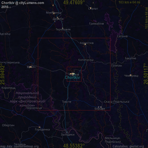
Analysis of Chortkiv night lights 2016
Square area 10x10 km:
 0%
0%90-99
0%80-89
0.6%70-79
0.15%60-69
1.04%50-59
0.89%40-49
0.45%30-39
0.45%20-29
0.6%10-19
0%0-9
95.83%Square area 50x50 km:
0%90-99
0%80-89
0.05%70-79
0.01%60-69
0.04%50-59
0.03%40-49
0.05%30-39
0.06%20-29
0.02%10-19
0.05%0-9
99.7%Clear (daylight) street map image can be seen on geolist.org.
Map coordinates:
49° 28' 33.9" North, 25° 5' 41.7" East
49° 1' 1.5" North, 25° 47' 52.9" East
48° 33' 13.8" North, 26° 30' 4.2" East
Some cities around Chortkiv sort by population:
• Terebovlya
32.3 km =20.1 mi,  348°
348°
• Buchach
30.3 km =18.8 mi,  279°
279°
• Borshchiv
29.8 km =18.5 mi,  142°
142°
• Zalishchyky
41.8 km =26 mi,  186°
186°
• Horodenka
44 km =27.3 mi,  209°
209°
• Husiatyn
28.9 km =18 mi,  77°
77°
• Khorostkiv
23.4 km =14.5 mi,  22°
22°
• Kopychyntsi
12.7 km =7.9 mi,  40°
40°
710400 (p: 28,855)
Sources (retrieved 2019-11-25):
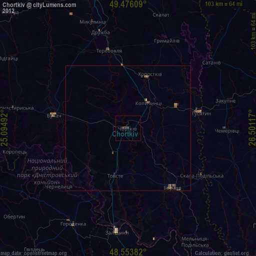
» Earth at Night: Flat Maps 2012, 2016