Horodenka night lights from space
Night Light of Horodenka (Ivano-Frankivsk) from space (Ukraine) Src. Average luminocity for 10x10km area is 0.4792% and for 50x50km: 0.0312%.
Analysis of Horodenka night lights 2016
Square area 10x10 km:
 0%
0%90-99
0%80-89
0%70-79
0%60-69
0%50-59
0.6%40-49
0%30-39
0%20-29
0.6%10-19
0%0-9
98.81%Square area 50x50 km:
0%90-99
0%80-89
0%70-79
0%60-69
0%50-59
0.02%40-49
0%30-39
0.02%20-29
0.02%10-19
0.02%0-9
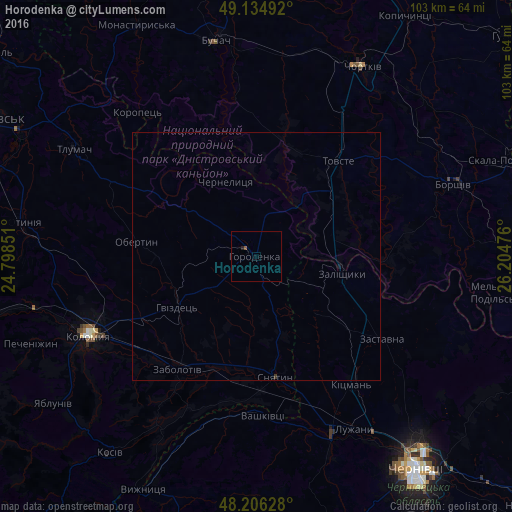
99.91%Clear (daylight) street map image can be seen on geolist.org.
Map coordinates:
49° 8' 5.7" North, 24° 47' 54.6" East
48° 40' 21.9" North, 25° 30' 5.9" East
48° 12' 22.6" North, 26° 12' 17.1" East
Some cities around Horodenka sort by population:
• Kolomyia
37.7 km =23.4 mi,  245°
245°
• Chortkiv
44 km =27.3 mi,  29°
29°
• Borshchiv
42.3 km =26.3 mi,  69°
69°
• Sniatyn
25.6 km =15.9 mi,  168°
168°
• Zalishchyky
17.7 km =11 mi,  100°
100°
• Zastavna
30.2 km =18.8 mi,  123°
123°
• Vashkivtsi
32 km =19.9 mi,  178°
178°
• Rozhniv
39.7 km =24.7 mi,  210°
210°
708380 (p: 9,430)
Sources (retrieved 2019-11-25):
» Earth at Night: Flat Maps 2012, 2016